Volcano Monitoring
Global volcanic activity monitoring, eruption alerts, and risk assessment
Latest Volcano Activity
1
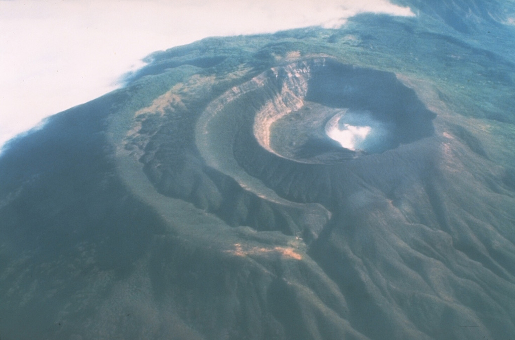
Santa Ana
El Salvador
Type:Stratovolcano
Elevation:2,381 m
Last Update:
1 year ago
Alert Level:Normal
Page 1
Global volcanic activity monitoring, eruption alerts, and risk assessment