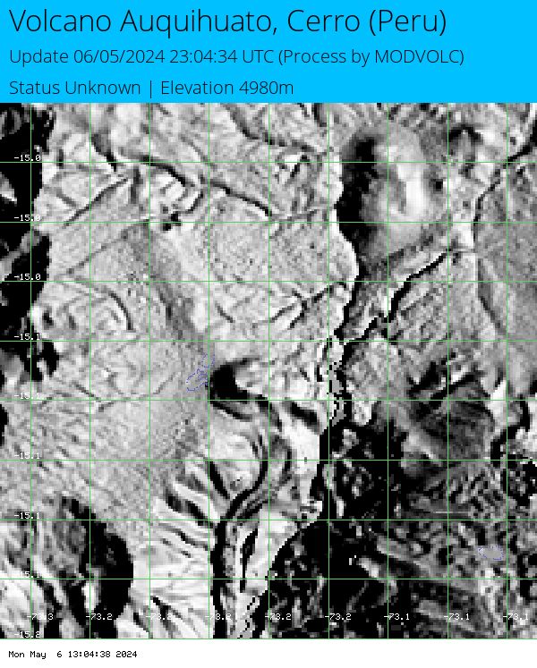
Auquihuato, Cerro (Peru)
Status Unknown Eruption Unknown 4980m
Pyroclastic cone (Subduction zone / Continental crust (> 25 km))

A young cinder cone, Cerro Auquihuato, lies about 30 km NE of Sara Sara volcano. Along with other, older cones, it is perched on an isolated high plateau far from the nearest roads, east of the Río Ocona. The Cerro Auquihuato cinder cone was constructed along the southern rim of the plateau and fed a pristine lava flow with very prominent levees that traveled southward down a river valley dissecting the margins of the plateau.
The cinder cone at the margin of the light-colored plateau just below the center of this NASA Landsat image (with north to the top) is Cerro Auquihuato. It and other, older cones are perched on this isolated high plateau far from the nearest roads, east of the Río Ocona (left). The Cerro Auquihuato cinder cone was constructed along the southern rim of the plateau and fed a pristine lava flow with very prominent levees that traveled southward down a river valley and is visible at the bottom-center portion of the image.
NASA Landsat7 image (worldwind.arc.nasa.gov)
Last updated 2019-12-07 06:30:02

Camera
Latest activity
Aww Error :(
Data not available