VolcanoYT
Disaster Monitoring
Live Monitoring
Volcano Monitoring
Global volcanic activity monitoring, eruption alerts, and risk assessment
Latest Volcano Activity
All Locations
Country
1
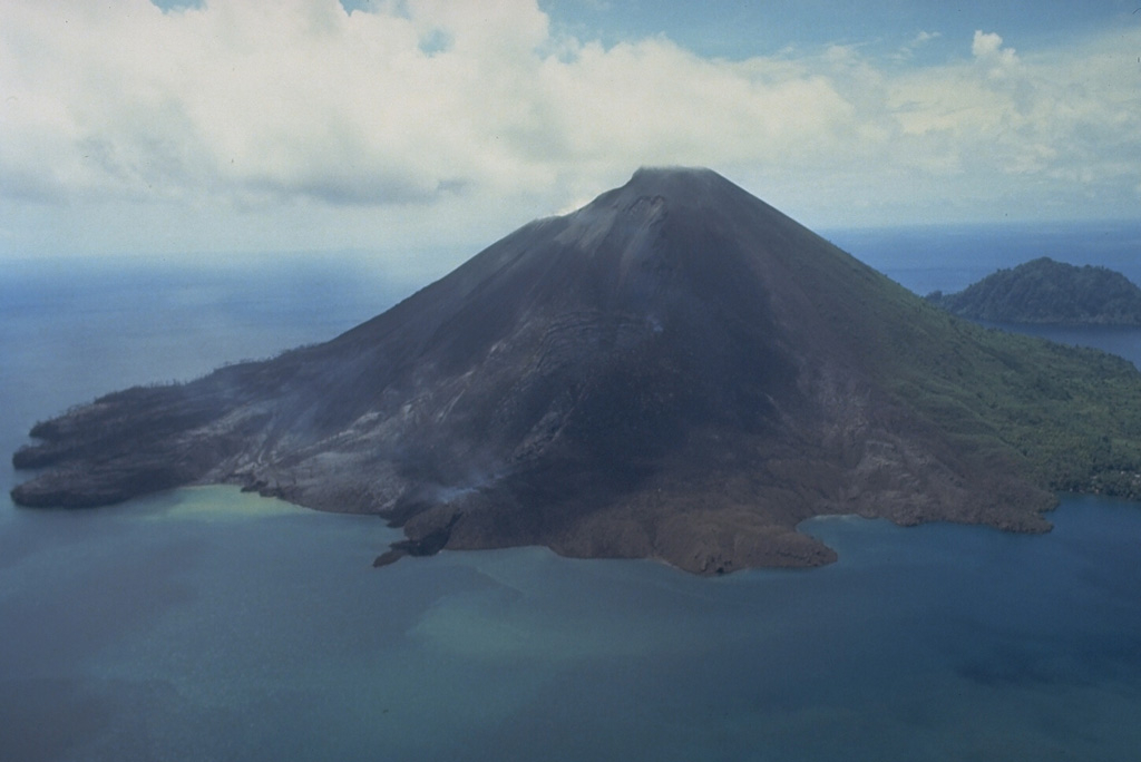
Banda Api
Indonesia
Type:
Caldera
Elevation:
596 m
Last Update:
1 year ago
Alert Level:
Normal
View Details
Monitor
Previous
Page
1
Next