Earthquake West Papua Region, Indonesia
Sat, 14 Feb 2026 20:52:17 GMT
Time6 days ago
Location
-1.5120, 133.1082
Depth
10.0 KM
Event Summary
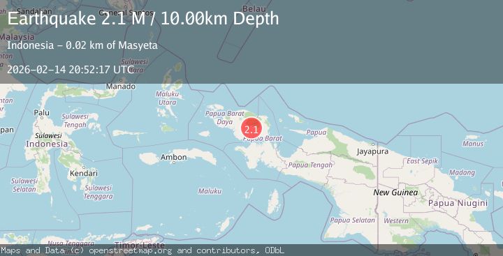
A 2.1 magnitude earthquake struck on West Papua Region, Indonesia, at Sat, 14 Feb 2026 20:52:17 GMT. Depth: 10km. Reviewed by BMKG seismologists, this minor quake occurred at a magnitude type of M.
Magnitude
2.1
M
Source
BMKG
Intensity
-
Agency Reports
1 Sources| Source | Magnitude | Depth | Time |
|---|---|---|---|
| BMKGPrimary | 2.1 | 10 km | 6 days ago |
Earthquake Details
ManualEvent IDbmg2026ddzl
Tsunami PotentialNo
Magnitude TypeM
Nearest Places
- 3.1 km
- 8.0 km
- 8.3 km
- 9.0 km
- 9.6 km
Comments
Join the discussion about this event.
Latest Earthquakes
2.0Mag
Southern Alaska
Time16 hours ago
Depth26.61 km
SourceVYT (Automatic)
2.8Mag
Central Alaska
Time17 hours ago
Depth292.36 km
SourceVYT (Automatic)
1.0Mag
12 km ESE of Anza, CA
Time17 hours ago
Depth18.49 km
SourceUSGS (Automatic)
3.2Mag
Molucca Sea
Time17 hours ago
Depth0.12 km
SourceVYT (Automatic)
1.0Mag
33 km SE of Minto, Alaska
Time17 hours ago
Depth8.60 km
SourceUSGS (Automatic)
Nearby Earthquakes
3.0Mag
PAPUA, INDONESIA
Time10 months ago
Depth62.00 km
SourceBMKG (Automatic)
3.3Mag
West Papua Region, Indonesia
Time1 week ago
Depth24.19 km
SourceBMKG (Automatic)
2.5Mag
West Papua Region, Indonesia
Time5 days ago
Depth10.00 km
SourceBMKG
3.0Mag
PAPUA, INDONESIA
Time1 year ago
Depth10.00 km
SourceBMKG (Automatic)
4.2Mag
West Papua Region, Indonesia
Time2 weeks ago
Depth13.60 km
SourceBMKG (Automatic)