Earthquake Southern Sumatra, Indonesia
Fri, 20 Feb 2026 18:10:06 GMT
Time1 hour ago
Location
-2.9051, 101.1811
Depth
24.3 KM
Event Summary
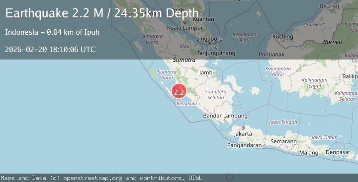
A 2.2 magnitude earthquake struck on Southern Sumatra, Indonesia, at Fri, 20 Feb 2026 18:10:06 GMT. Depth: 24.348495km. Reviewed by BMKG seismologists, this minor quake occurred at a magnitude type of M.
Magnitude
2.2
M
Source
BMKG
Intensity
-
Agency Reports
1 Sources| Source | Magnitude | Depth | Time |
|---|---|---|---|
| BMKGPrimary | 2.2 | 24 km | 1 hour ago |
Earthquake Details
ManualEvent IDbmg2026dotc
Tsunami PotentialNo
Magnitude TypeM
Nearest Places
- Pondoklintang22.1 km
- Air Jubakpanang22.7 km
- Desa Teluk Bakung23.3 km
- Pasarbantal23.7 km
- Air Bantal23.8 km
Comments
Join the discussion about this event.
Latest Earthquakes
1.9Mag
60 km S of Whites City, New Mexico
Time1 hour ago
Depth5.71 km
SourceUSGS (Automatic)
1.7Mag
Southern Alaska
Time1 hour ago
Depth91.31 km
SourceVYT (Automatic)
2.2Mag
Antofagasta, Chile
Time1 hour ago
Depth0.00 km
SourceVYT (Automatic)
2.3Mag
Antofagasta, Chile
Time1 hour ago
Depth106.32 km
SourceVYT (Automatic)
3.6Mag
Celebes Sea
Time1 hour ago
Depth187.38 km
SourceVYT (Automatic)
Nearby Earthquakes
4.0Mag
SOUTHERN SUMATRA, INDONESIA
Time6 years ago
Depth84.00 km
SourceDJA (Automatic)
5.2Mag
SOUTHERN SUMATRA, INDONESIA
Time18 years ago
Depth40.00 km
SourceEMSC (Automatic)
3.0Mag
SOUTHERN SUMATRA, INDONESIA
Time3 years ago
Depth20.00 km
SourceDJA (Automatic)
5.5Mag
SOUTHERN SUMATRA, INDONESIA
Time13 years ago
Depth22.00 km
SourceEMSC (Automatic)
4.2Mag
SOUTHERN SUMATRA, INDONESIA
Time1 month ago
Depth22.00 km
SourceBMKG (Automatic)