Earthquake NEAR N COAST OF PAPUA, INDONESIA
Tue, 13 Jan 2026 12:42:26 GMT
Time1 month ago
Location
-0.5000, 131.9200
Depth
10.0 KM
Event Summary
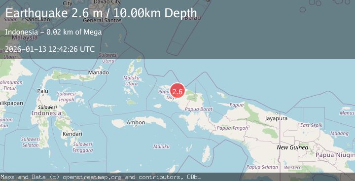
A 2.6 magnitude earthquake struck on NEAR N COAST OF PAPUA, INDONESIA, at Tue, 13 Jan 2026 12:42:26 GMT. Depth: 10km. Reviewed by BMKG seismologists, this minor quake occurred at a magnitude type of m.
Magnitude
2.6
m
Source
BMKG
Intensity
-
Agency Reports
1 Sources| Source | Magnitude | Depth | Time |
|---|---|---|---|
| BMKGPrimary | 2.6 | 10 km | 1 month ago |
Earthquake Details
AutomaticEvent IDemsc_BMKG_20260113_0000188
Tsunami PotentialNo
Magnitude Typem
Nearest Places
- Tanjung Kasbi12.0 km
- Teluk Sansapor13.1 km
- Tanjung Sawasar16.0 km
- Kampung Warmanen16.1 km
- Kampung Warmasi16.4 km
Comments
Join the discussion about this event.
Latest Earthquakes
2.4Mag
Fox Islands, Aleutian Islands, Alaska
Time3 minutes ago
Depth14.04 km
SourceVYT (Automatic)
1.9Mag
Southern Alaska
Time5 minutes ago
Depth94.24 km
SourceVYT (Automatic)
2.5Mag
Antofagasta, Chile
Time8 minutes ago
Depth0.00 km
SourceVYT (Automatic)
3.3Mag
Banda Sea
Time9 minutes ago
Depth189.73 km
SourceBMKG
0.9Mag
15 km ESE of Little Lake, CA
Time14 minutes ago
Depth7.57 km
SourceUSGS (Automatic)
Nearby Earthquakes
5.3Mag
NEAR N COAST OF PAPUA, INDONESIA
Time13 years ago
Depth42.00 km
SourceEMSC (Automatic)
4.0Mag
NEAR N COAST OF PAPUA, INDONESIA
Time4 years ago
Depth10.00 km
SourceDJA (Automatic)
2.5Mag
West Papua Region, Indonesia
Time0 months ago
Depth10.00 km
SourceBMKG (Automatic)
2.6Mag
NEAR N COAST OF PAPUA, INDONESIA
Time4 days ago
Depth10.00 km
SourceBMKG (Automatic)
3.0Mag
NEAR N COAST OF PAPUA, INDONESIA
Time4 years ago
Depth11.00 km
SourceDJA (Automatic)