Earthquake SOUTHERN SUMATRA, INDONESIA
Fri, 28 Feb 2020 14:02:55 GMT
Time5 years ago
Location
-4.1200, 102.9900
Depth
103.0 KM
Event Summary
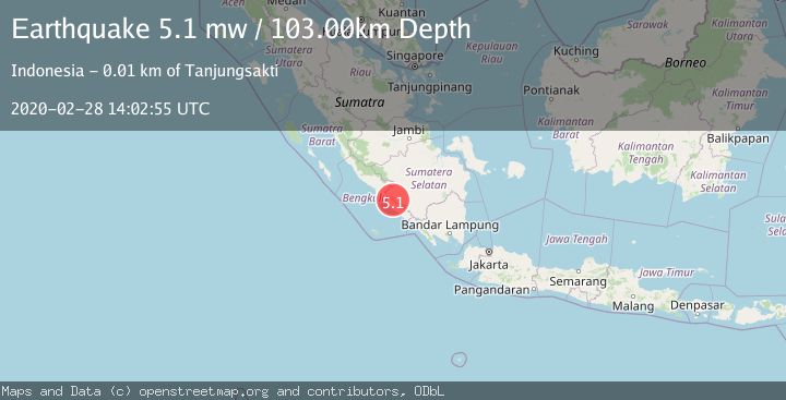
A 5.1 magnitude earthquake struck on SOUTHERN SUMATRA, INDONESIA, at Fri, 28 Feb 2020 14:02:55 GMT. Depth: 103km. Reviewed by EMSC seismologists, this moderate quake occurred at a magnitude type of mw.
Magnitude
5.1
mw
Source
EMSC
Intensity
-
Agency Reports
1 Sources| Source | Magnitude | Depth | Time |
|---|---|---|---|
| EMSCPrimary | 5.1 | 103 km | 5 years ago |
Earthquake Details
AutomaticEvent IDemsc_EMSC_20200228_0000150
Tsunami PotentialNo
Magnitude Typemw
Nearest Places
- 1.6 km
- 2.8 km
- 3.0 km
- 3.5 km
- 3.5 km
Comments
Join the discussion about this event.
Latest Earthquakes
1.2Mag
WESTERN TURKEY
Time7 minutes ago
Depth7.60 km
SourceAFAD (Automatic)
3.5Mag
Flores region, Indonesia
Time9 minutes ago
Depth638.55 km
SourceVYT (Automatic)
3.2Mag
South of Java, Indonesia
Time10 minutes ago
Depth64.99 km
SourceBMKG
2.1Mag
Java, Indonesia
Time10 minutes ago
Depth128.82 km
SourceBMKG
1.8Mag
60 km S of Whites City, New Mexico
Time13 minutes ago
Depth3.28 km
SourceUSGS (Automatic)
Nearby Earthquakes
3.0Mag
SOUTHERN SUMATRA, INDONESIA
Time3 years ago
Depth10.00 km
SourceDJA (Automatic)
5.3Mag
SOUTHERN SUMATRA, INDONESIA
Time14 years ago
Depth105.00 km
SourceEMSC (Automatic)
3.0Mag
SOUTHERN SUMATRA, INDONESIA
Time2 years ago
Depth10.00 km
SourceBMKG (Automatic)
5.6Mag
SOUTHERN SUMATRA, INDONESIA
Time18 years ago
Depth80.00 km
SourceEMSC (Automatic)
3.0Mag
SOUTHERN SUMATRA, INDONESIA
Time4 years ago
Depth32.00 km
SourceDJA (Automatic)