Earthquake EAST OF KURIL ISLANDS
Wed, 04 Feb 2026 06:46:07 GMT
Time2 weeks ago
Location
50.1608, 158.6984
Depth
11.5 KM
Event Summary
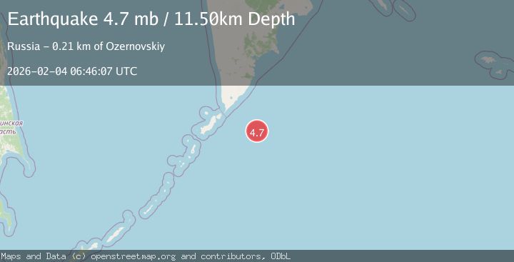
A 4.7 magnitude earthquake struck on EAST OF KURIL ISLANDS, at Wed, 04 Feb 2026 06:46:07 GMT. Depth: 11.5km. Reviewed by EMSC seismologists, this light quake occurred at a magnitude type of mb.
Magnitude
4.7
mb
Source
EMSC
Intensity
-
Agency Reports
1 Sources| Source | Magnitude | Depth | Time |
|---|---|---|---|
| EMSCPrimary | 4.7 | 12 km | 2 weeks ago |
Earthquake Details
AutomaticEvent IDemsc_EMSC_20260204_0000095
Tsunami PotentialNo
Magnitude Typemb
Nearest Places
- Oyashio122.5 km
- Kamen’ Gavryushkin154.9 km
- Mys Trëkhpolosnyy156.1 km
- Korotkiy156.2 km
- Ostrov Tamarin156.6 km
Comments
Join the discussion about this event.
Latest Earthquakes
2.2Mag
Fox Islands, Aleutian Islands, Alaska
Time1 minute ago
Depth12.94 km
SourceVYT (Automatic)
1.9Mag
Southern Alaska
Time3 minutes ago
Depth94.24 km
SourceVYT (Automatic)
2.5Mag
Antofagasta, Chile
Time6 minutes ago
Depth0.00 km
SourceVYT (Automatic)
0.9Mag
15 km ESE of Little Lake, CA
Time12 minutes ago
Depth7.57 km
SourceUSGS (Automatic)
2.8Mag
Tarapaca, Chile
Time16 minutes ago
Depth0.00 km
SourceVYT (Automatic)
Nearby Earthquakes
5.1Mag
EAST OF KURIL ISLANDS
Time12 years ago
Depth40.00 km
SourceEMSC (Automatic)
4.0Mag
EAST OF KURIL ISLANDS
Time5 months ago
Depth10.00 km
SourceNEIC (Automatic)
5.1Mag
EAST OF KURIL ISLANDS
Time6 years ago
Depth30.00 km
SourceEMSC (Automatic)
5.1Mag
EAST OF KURIL ISLANDS
Time6 months ago
Depth7.80 km
SourceEMSC (Automatic)
4.0Mag
EAST OF KURIL ISLANDS
Time6 months ago
Depth26.10 km
SourceNEIC (Automatic)