Earthquake MYANMAR-INDIA BORDER REGION
Wed, 26 Aug 2020 19:14:31 GMT
Time5 years ago
Location
24.7700, 94.1900
Depth
62.0 KM
Event Summary
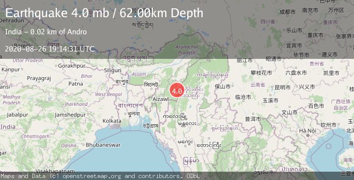
A 4.0 magnitude earthquake struck on MYANMAR-INDIA BORDER REGION, at Wed, 26 Aug 2020 19:14:31 GMT. Depth: 62km. Reviewed by GFZ seismologists, this light quake occurred at a magnitude type of mb.
Magnitude
4.0
mb
Source
GFZ
Intensity
-
Agency Reports
1 Sources| Source | Magnitude | Depth | Time |
|---|---|---|---|
| GFZPrimary | 4.0 | 62 km | 5 years ago |
Earthquake Details
AutomaticEvent IDemsc_GFZ_20200826_0000194
Tsunami PotentialNo
Magnitude Typemb
Nearest Places
- Bongbāl Khulen6.3 km
- Maphitel8.9 km
- Singkap12.1 km
- Kasom Khullen13.0 km
- Andra14.5 km
Comments
Join the discussion about this event.
Latest Earthquakes
1.3Mag
4 km WSW of Daly City, CA
Time6 minutes ago
Depth12.14 km
SourceUSGS (Automatic)
1.9Mag
Tarapaca, Chile
Time7 minutes ago
Depth14.16 km
SourceVYT (Automatic)
1.5Mag
Tarapaca, Chile
Time13 minutes ago
Depth12.94 km
SourceVYT (Automatic)
2.0Mag
Poland
Time14 minutes ago
Depth6.35 km
SourceVYT (Automatic)
3.7Mag
north of Halmahera, Indonesia
Time16 minutes ago
Depth1.22 km
SourceVYT (Automatic)
Nearby Earthquakes
3.0Mag
MYANMAR-INDIA BORDER REGION
Time2 years ago
Depth35.00 km
SourceNDI (Automatic)
3.0Mag
MYANMAR-INDIA BORDER REGION
Time8 years ago
Depth102.00 km
SourceNDI (Automatic)
3.0Mag
MYANMAR-INDIA BORDER REGION
Time8 years ago
Depth75.00 km
SourceNDI (Automatic)
3.2Mag
MYANMAR-INDIA BORDER REGION
Time1 week ago
Depth60.00 km
SourceNDI (Automatic)
2.7Mag
MYANMAR-INDIA BORDER REGION
Time2 weeks ago
Depth61.00 km
SourceNDI (Automatic)