Earthquake MYANMAR-INDIA BORDER REGION
Mon, 27 Jul 2020 19:34:15 GMT
Time5 years ago
Location
24.5600, 94.5500
Depth
60.0 KM
Event Summary
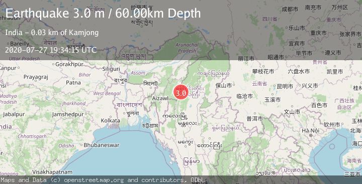
A 3.0 magnitude earthquake struck on MYANMAR-INDIA BORDER REGION, at Mon, 27 Jul 2020 19:34:15 GMT. Depth: 60km. Reviewed by NDI seismologists, this minor quake occurred at a magnitude type of m.
Magnitude
3.0
m
Source
NDI
Intensity
-
Agency Reports
1 Sources| Source | Magnitude | Depth | Time |
|---|---|---|---|
| NDIPrimary | 3.0 | 60 km | 5 years ago |
Earthquake Details
AutomaticEvent IDemsc_NDI_20200727_0000117
Tsunami PotentialNo
Magnitude Typem
Nearest Places
- 1.2 km
- 1.6 km
- 3.6 km
- 3.8 km
- 4.3 km
Comments
Join the discussion about this event.
Latest Earthquakes
2.5Mag
South of Java, Indonesia
Time12 minutes ago
Depth162.67 km
SourceBMKG
0.6Mag
9 km NW of The Geysers, CA
Time16 minutes ago
Depth2.06 km
SourceUSGS (Automatic)
1.2Mag
WESTERN TURKEY
Time22 minutes ago
Depth7.60 km
SourceAFAD (Automatic)
3.5Mag
Flores region, Indonesia
Time24 minutes ago
Depth638.55 km
SourceVYT (Automatic)
3.2Mag
South of Java, Indonesia
Time25 minutes ago
Depth64.99 km
SourceBMKG
Nearby Earthquakes
4.0Mag
MYANMAR-INDIA BORDER REGION
Time5 years ago
Depth30.00 km
SourceNDI (Automatic)
5.0Mag
MYANMAR-INDIA BORDER REGION
Time9 years ago
Depth10.00 km
SourceEMSC (Automatic)
5.4Mag
MYANMAR-INDIA BORDER REGION
Time21 years ago
Depth33.00 km
SourceEMSC (Automatic)
5.4Mag
MYANMAR-INDIA BORDER REGION
Time11 months ago
Depth59.50 km
SourceEMSC (Automatic)
3.0Mag
MYANMAR-INDIA BORDER REGION
Time3 years ago
Depth50.00 km
SourceNDI (Automatic)