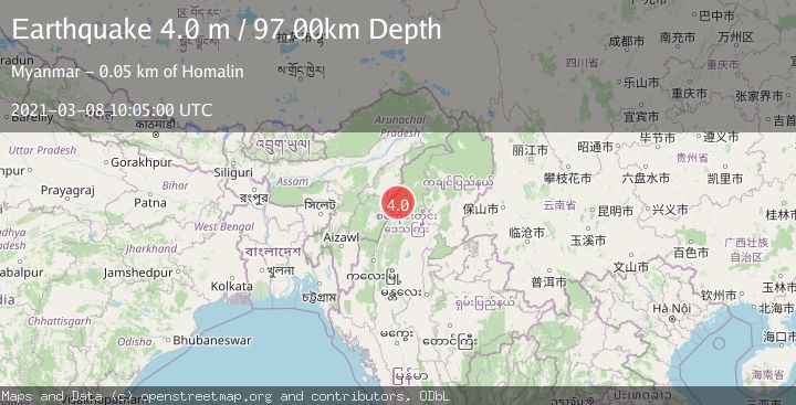
Earthquake MYANMAR-INDIA BORDER REGION
Mon, 08 Mar 2021 10:05:00 GMT
Time4 years ago
Location
25.2900, 94.9700
Depth
97.0 KM
Event Summary
A 4.0 magnitude earthquake struck on MYANMAR-INDIA BORDER REGION, at Mon, 08 Mar 2021 10:05:00 GMT. Depth: 97km. Reviewed by NDI seismologists, this light quake occurred at a magnitude type of m.
Magnitude
4.0
m
Source
NDI
Intensity
-
Agency Reports
1 Sources| Source | Magnitude | Depth | Time |
|---|---|---|---|
| NDIPrimary | 4.0 | 97 km | 4 years ago |
Earthquake Details
AutomaticEvent IDemsc_NDI_20210308_0000089
Tsunami PotentialNo
Magnitude Typem
Comments
Join the discussion about this event.
Latest Earthquakes
1.3Mag
4 km WSW of Daly City, CA
Time4 minutes ago
Depth12.14 km
SourceUSGS (Automatic)
1.9Mag
Tarapaca, Chile
Time5 minutes ago
Depth14.16 km
SourceVYT (Automatic)
1.5Mag
Tarapaca, Chile
Time11 minutes ago
Depth12.94 km
SourceVYT (Automatic)
2.0Mag
Poland
Time13 minutes ago
Depth6.35 km
SourceVYT (Automatic)
3.7Mag
north of Halmahera, Indonesia
Time14 minutes ago
Depth1.22 km
SourceVYT (Automatic)
Nearby Earthquakes
5.1Mag
MYANMAR-INDIA BORDER REGION
Time4 years ago
Depth100.00 km
SourceEMSC (Automatic)
6.0Mag
MYANMAR
Time13 years ago
Depth99.00 km
SourceEMSC (Automatic)
3.0Mag
MYANMAR-INDIA BORDER REGION
Time6 months ago
Depth120.00 km
SourceNDI (Automatic)
4.0Mag
MYANMAR-INDIA BORDER REGION
Time3 years ago
Depth80.00 km
SourceNEIC (Automatic)
4.2Mag
MYANMAR-INDIA BORDER REGION
Time3 weeks ago
Depth105.50 km
SourceNDI (Automatic)