Earthquake MYANMAR-INDIA BORDER REGION
Thu, 17 Jun 2021 19:36:08 GMT
Time4 years ago
Location
24.3000, 94.1000
Depth
10.0 KM
Event Summary
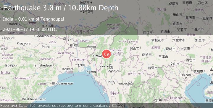
A 3.0 magnitude earthquake struck on MYANMAR-INDIA BORDER REGION, at Thu, 17 Jun 2021 19:36:08 GMT. Depth: 10km. Reviewed by NDI seismologists, this minor quake occurred at a magnitude type of m.
Magnitude
3.0
m
Source
NDI
Intensity
-
Agency Reports
1 Sources| Source | Magnitude | Depth | Time |
|---|---|---|---|
| NDIPrimary | 3.0 | 10 km | 4 years ago |
Earthquake Details
AutomaticEvent IDemsc_NDI_20210617_0000211
Tsunami PotentialNo
Magnitude Typem
Nearest Places
- 7.2 km
- 7.3 km
- 7.3 km
- 10.3 km
- 10.6 km
Comments
Join the discussion about this event.
Latest Earthquakes
3.4Mag
Tarapaca, Chile
Time1 minute ago
Depth94.36 km
SourceVYT (Automatic)
2.0Mag
Washington
Time2 minutes ago
Depth20.39 km
SourceVYT (Automatic)
2.4Mag
ISLAND OF HAWAII, HAWAII
Time5 minutes ago
Depth33.70 km
SourceHV (Automatic)
3.5Mag
SIKKIM, INDIA
Time12 minutes ago
Depth6.70 km
SourceNDI (Automatic)
2.5Mag
South of Java, Indonesia
Time17 minutes ago
Depth162.67 km
SourceBMKG
Nearby Earthquakes
3.0Mag
MYANMAR-INDIA BORDER REGION
Time9 months ago
Depth20.00 km
SourceNDI (Automatic)
4.0Mag
MYANMAR-INDIA BORDER REGION
Time3 months ago
Depth90.00 km
SourceNDI (Automatic)
3.0Mag
MYANMAR-INDIA BORDER REGION
Time1 month ago
Depth45.00 km
SourceNDI (Automatic)
5.1Mag
MANIPUR, INDIA REGION
Time5 years ago
Depth60.00 km
SourceEMSC (Automatic)
5.2Mag
MANIPUR, INDIA REGION
Time8 months ago
Depth55.30 km
SourceEMSC (Automatic)