Earthquake MYANMAR-INDIA BORDER REGION
Sat, 04 Feb 2023 00:44:55 GMT
Time3 years ago
Location
25.1300, 94.6700
Depth
10.0 KM
Event Summary
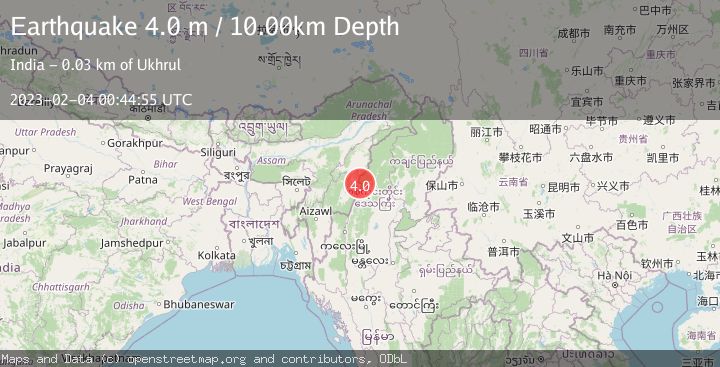
A 4.0 magnitude earthquake struck on MYANMAR-INDIA BORDER REGION, at Sat, 04 Feb 2023 00:44:55 GMT. Depth: 10km. Reviewed by NDI seismologists, this light quake occurred at a magnitude type of m.
Magnitude
4.0
m
Source
NDI
Intensity
-
Agency Reports
1 Sources| Source | Magnitude | Depth | Time |
|---|---|---|---|
| NDIPrimary | 4.0 | 10 km | 3 years ago |
Earthquake Details
AutomaticEvent IDemsc_NDI_20230204_0000004
Tsunami PotentialNo
Magnitude Typem
Nearest Places
- 4.5 km
- 6.5 km
- 7.9 km
- 8.1 km
- 9.6 km
Comments
Join the discussion about this event.
Latest Earthquakes
0.6Mag
9 km NW of The Geysers, CA
Time7 minutes ago
Depth2.06 km
SourceUSGS (Automatic)
1.2Mag
WESTERN TURKEY
Time13 minutes ago
Depth7.60 km
SourceAFAD (Automatic)
3.5Mag
Flores region, Indonesia
Time14 minutes ago
Depth638.55 km
SourceVYT (Automatic)
3.2Mag
South of Java, Indonesia
Time15 minutes ago
Depth64.99 km
SourceBMKG
2.1Mag
Java, Indonesia
Time16 minutes ago
Depth128.82 km
SourceBMKG
Nearby Earthquakes
2.9Mag
MYANMAR-INDIA BORDER REGION
Time2 weeks ago
Depth32.00 km
SourceNDI (Automatic)
5.2Mag
MYANMAR-INDIA BORDER REGION
Time8 years ago
Depth80.00 km
SourceEMSC (Automatic)
4.2Mag
MYANMAR-INDIA BORDER REGION
Time3 weeks ago
Depth105.50 km
SourceNDI (Automatic)
4.0Mag
MYANMAR-INDIA BORDER REGION
Time5 years ago
Depth82.00 km
SourceNDI (Automatic)
4.0Mag
MYANMAR-INDIA BORDER REGION
Time2 years ago
Depth116.00 km
SourceEMSC (Automatic)