Earthquake MYANMAR-INDIA BORDER REGION
Fri, 23 Jan 2026 14:34:07 GMT
Time0 months ago
Location
24.8300, 94.5200
Depth
40.0 KM
Event Summary
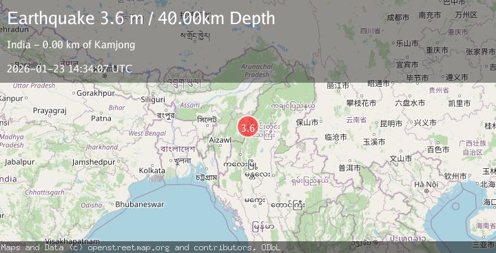
A 3.6 magnitude earthquake struck on MYANMAR-INDIA BORDER REGION, at Fri, 23 Jan 2026 14:34:07 GMT. Depth: 40km. Reviewed by NDI seismologists, this minor quake occurred at a magnitude type of m.
Magnitude
3.6
m
Source
NDI
Intensity
-
Agency Reports
1 Sources| Source | Magnitude | Depth | Time |
|---|---|---|---|
| NDIPrimary | 3.6 | 40 km | 0 months ago |
Earthquake Details
AutomaticEvent IDemsc_NDI_20260123_0000249
Tsunami PotentialNo
Magnitude Typem
Nearest Places
- 1.6 km
- 2.6 km
- 3.2 km
- 3.7 km
- 3.7 km
Comments
Join the discussion about this event.
Latest Earthquakes
2.5Mag
South of Java, Indonesia
Time12 minutes ago
Depth162.67 km
SourceBMKG
0.6Mag
9 km NW of The Geysers, CA
Time17 minutes ago
Depth2.06 km
SourceUSGS (Automatic)
1.2Mag
WESTERN TURKEY
Time23 minutes ago
Depth7.60 km
SourceAFAD (Automatic)
3.5Mag
Flores region, Indonesia
Time24 minutes ago
Depth638.55 km
SourceVYT (Automatic)
3.2Mag
South of Java, Indonesia
Time25 minutes ago
Depth64.99 km
SourceBMKG
Nearby Earthquakes
3.0Mag
MYANMAR-INDIA BORDER REGION
Time8 years ago
Depth75.00 km
SourceNDI (Automatic)
3.0Mag
MYANMAR-INDIA BORDER REGION
Time2 years ago
Depth35.00 km
SourceNDI (Automatic)
3.9Mag
MYANMAR-INDIA BORDER REGION
Time2 weeks ago
Depth85.00 km
SourceNDI (Automatic)
3.0Mag
MYANMAR-INDIA BORDER REGION
Time8 years ago
Depth102.00 km
SourceNDI (Automatic)
5.0Mag
MYANMAR-INDIA BORDER REGION
Time11 years ago
Depth100.00 km
SourceEMSC (Automatic)