Earthquake VIRGIN ISLANDS REGION
Sun, 13 Aug 2017 19:30:57 GMT
Time8 years ago
Location
19.1500, -65.1200
Depth
31.0 KM
Event Summary
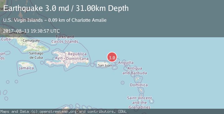
A 3.0 magnitude earthquake struck on VIRGIN ISLANDS REGION, at Sun, 13 Aug 2017 19:30:57 GMT. Depth: 31km. Reviewed by NEIR seismologists, this minor quake occurred at a magnitude type of md.
Magnitude
3.0
md
Source
NEIR
Intensity
-
Agency Reports
1 Sources| Source | Magnitude | Depth | Time |
|---|---|---|---|
| NEIRPrimary | 3.0 | 31 km | 8 years ago |
Earthquake Details
AutomaticEvent IDemsc_NEIR_20170813_0000188
Tsunami PotentialNo
Magnitude Typemd
Nearest Places
- Anegada Canyon56.6 km
- Amphitheaters Ridge61.4 km
- Molinos Canyon65.4 km
- Whale Banks66.8 km
- Bandera Canyon69.8 km
Comments
Join the discussion about this event.
Latest Earthquakes
1.9Mag
Tarapaca, Chile
Time2 minutes ago
Depth14.16 km
SourceVYT (Automatic)
1.5Mag
Tarapaca, Chile
Time7 minutes ago
Depth12.94 km
SourceVYT (Automatic)
2.0Mag
Poland
Time9 minutes ago
Depth6.35 km
SourceVYT (Automatic)
3.7Mag
north of Halmahera, Indonesia
Time10 minutes ago
Depth1.22 km
SourceVYT (Automatic)
3.1Mag
Halmahera, Indonesia
Time12 minutes ago
Depth22.95 km
SourceVYT (Automatic)
Nearby Earthquakes
3.0Mag
VIRGIN ISLANDS REGION
Time4 years ago
Depth22.00 km
SourceNEIC (Automatic)
3.0Mag
VIRGIN ISLANDS REGION
Time12 years ago
Depth45.00 km
SourceNEIR (Automatic)
3.4Mag
86 km NNW of Charlotte Amalie, U.S. Virgin Islands
Time6 days ago
Depth35.00 km
SourceUSGS
3.0Mag
VIRGIN ISLANDS REGION
Time2 years ago
Depth34.60 km
SourcePR (Automatic)
4.0Mag
VIRGIN ISLANDS REGION
Time3 years ago
Depth35.00 km
SourceNEIC (Automatic)