Earthquake 41 km NW of Ninilchik, Alaska
Wed, 13 May 2026 09:44:09 GMT
Time1 week ago
Location
60.2920, -152.2470
Depth
97.5 KM
Event Summary
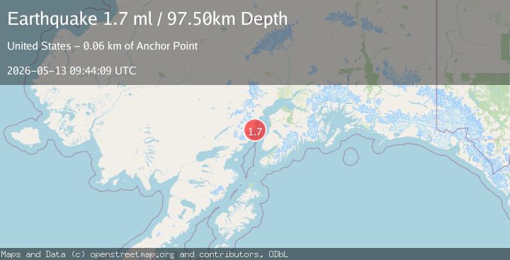
A 1.7 magnitude earthquake struck on 41 km NW of Ninilchik, Alaska, at Wed, 13 May 2026 09:44:09 GMT. Depth: 97.5km. Reviewed by USGS seismologists, this minor quake occurred at a magnitude type of ml.
Magnitude
1.7
ml
Source
USGS
Intensity
-
Agency Reports
1 Sources| Source | Magnitude | Depth | Time |
|---|---|---|---|
| USGSPrimary | 1.7 | 98 km | 1 week ago |
Earthquake Details
AutomaticEvent IDusgs_aka2026jkojni
QualityS
Tsunami PotentialNo
Magnitude Typeml
Last Update1 week ago
Used Stations25
Felt Reports0
Did you feel this earthquake? Report it to help others.
No reports yet
Be the first to report this earthquake!
Latest Earthquakes
Loading...
Nearby Earthquakes
1.4Mag
38 km WNW of Clam Gulch, Alaska
Time19 hours ago
Depth80.70 km
SourceUSGS (Automatic)
2.0Mag
49 km E of Pedro Bay, Alaska
Time1 day ago
Depth138.10 km
SourceUSGS (Automatic)
1.8Mag
21 km WNW of Kalifornsky, Alaska
Time1 day ago
Depth73.00 km
SourceUSGS (Automatic)
1.7Mag
64 km WNW of Ninilchik, Alaska
Time1 day ago
Depth122.30 km
SourceUSGS (Automatic)
3.3Mag
Southern Alaska
Time1 day ago
Depth174.44 km
SourceVYT (Automatic)