Earthquake 5 km NNE of Amesti, CA
Sun, 15 Feb 2026 16:37:08 GMT
Time5 days ago
Location
37.0057, -121.7485
Depth
15.4 KM
Event Summary
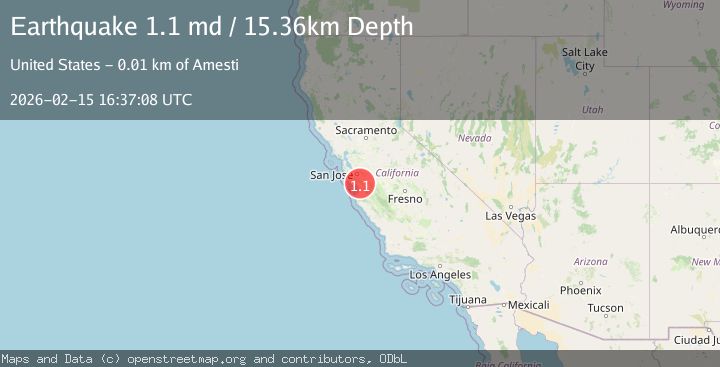
A 1.1 magnitude earthquake struck on 5 km NNE of Amesti, CA, at Sun, 15 Feb 2026 16:37:08 GMT. Depth: 15.3599996566772km. Reviewed by USGS seismologists, this minor quake occurred at a magnitude type of md.
Magnitude
1.1
md
Source
USGS
Intensity
-
Agency Reports
1 Sources| Source | Magnitude | Depth | Time |
|---|---|---|---|
| USGSPrimary | 1.1 | 15 km | 5 days ago |
Earthquake Details
AutomaticEvent IDusgs_nc75314312
Tsunami PotentialNo
Magnitude Typemd
Nearest Places
- Hazeldell School (historical)1.2 km
- Simas Lake1.2 km
- Ferndale School (historical)1.9 km
- Banks Canyon2.0 km
- Gaffey Creek2.0 km
Comments
Join the discussion about this event.
Latest Earthquakes
1.9Mag
Southern Alaska
Time3 minutes ago
Depth94.24 km
SourceVYT (Automatic)
2.5Mag
Antofagasta, Chile
Time5 minutes ago
Depth0.00 km
SourceVYT (Automatic)
0.9Mag
15 km ESE of Little Lake, CA
Time11 minutes ago
Depth7.57 km
SourceUSGS (Automatic)
2.8Mag
Tarapaca, Chile
Time16 minutes ago
Depth0.00 km
SourceVYT (Automatic)
1.2Mag
WESTERN TURKEY
Time17 minutes ago
Depth7.00 km
SourceAFAD (Automatic)
Nearby Earthquakes
0.9Mag
6 km NNE of Corralitos, CA
Time2 hours ago
Depth6.95 km
SourceUSGS (Automatic)
2.8Mag
NORTHERN CALIFORNIA
Time1 month ago
Depth12.10 km
SourceNEIC (Automatic)
1.3Mag
8 km NE of Interlaken, CA
Time5 days ago
Depth4.78 km
SourceUSGS (Automatic)
3.0Mag
NORTHERN CALIFORNIA
Time8 years ago
Depth11.00 km
SourceNC (Automatic)
1.3Mag
6 km WSW of Gilroy, CA
Time3 weeks ago
Depth4.77 km
SourceUSGS (Automatic)