Earthquake 13 km W of Entiat, Washington
Fri, 20 Feb 2026 18:18:05 GMT
Time4 hours ago
Location
47.6910, -120.3805
Depth
-1.0 KM
Event Summary
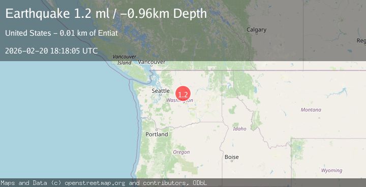
A 1.2 magnitude earthquake struck on 13 km W of Entiat, Washington, at Fri, 20 Feb 2026 18:18:05 GMT. Depth: -0.96km. Reviewed by USGS seismologists, this minor quake occurred at a magnitude type of ml.
Magnitude
1.2
ml
Source
USGS
Intensity
-
Agency Reports
1 Sources| Source | Magnitude | Depth | Time |
|---|---|---|---|
| USGSPrimary | 1.2 | -1 km | 4 hours ago |
Earthquake Details
ConfirmedEvent IDusgs_uw62227936
Tsunami PotentialNo
Magnitude Typeml
Nearest Places
- 0.7 km
- 2.5 km
- 2.7 km
- 3.3 km
- 3.4 km
Comments
Join the discussion about this event.
Latest Earthquakes
2.8Mag
Potosi, Bolivia
Time2 hours ago
Depth216.67 km
SourceVYT (Automatic)
2.1Mag
Tarapaca, Chile
Time2 hours ago
Depth82.64 km
SourceVYT (Automatic)
2.4Mag
Antofagasta, Chile
Time2 hours ago
Depth172.61 km
SourceVYT (Automatic)
3.0Mag
Central California
Time2 hours ago
Depth17.33 km
SourceVYT (Automatic)
3.1Mag
Halmahera, Indonesia
Time2 hours ago
Depth11.34 km
SourceBMKG
Nearby Earthquakes
0.6Mag
13 km W of Entiat, Washington
Time3 hours ago
Depth-1.24 km
SourceUSGS
3.0Mag
WASHINGTON
Time11 years ago
Depth5.00 km
SourceNEIR (Automatic)
3.0Mag
WASHINGTON
Time10 years ago
Depth7.00 km
SourceNEIR (Automatic)
1.6Mag
Washington
Time1 week ago
Depth16.72 km
SourceVYT (Automatic)
3.0Mag
WASHINGTON
Time1 year ago
Depth10.00 km
SourceNEIC (Automatic)