Height: -1200 mdpl Country: Undersea Features Type: Cone
Height: -145 mdpl Country: United States Type: Stratovolcano
Height: 250 mdpl Country: Iceland Type: Fissure vent
Height: 1020 mdpl Country: Australia Type: Volcanic field
Height: -184 mdpl Country: United States Type: Stratovolcano
Height: -1270 mdpl Country: Tonga Type: Caldera
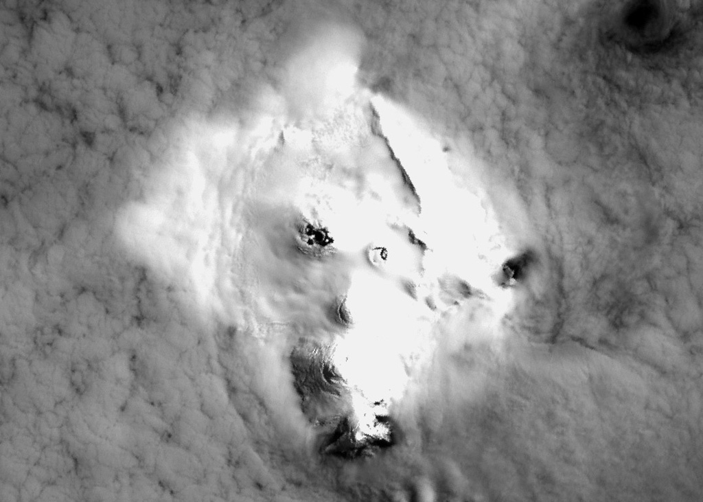
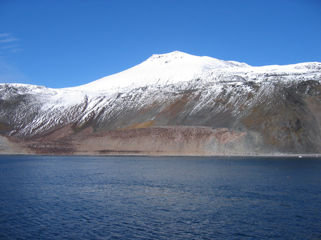
Height: 240 mdpl Country: Antarctica Type: Stratovolcano
Height: 1633 mdpl Country: United States Type: Volcanic field
Height: -1170 mdpl Country: Tonga Type: Shield
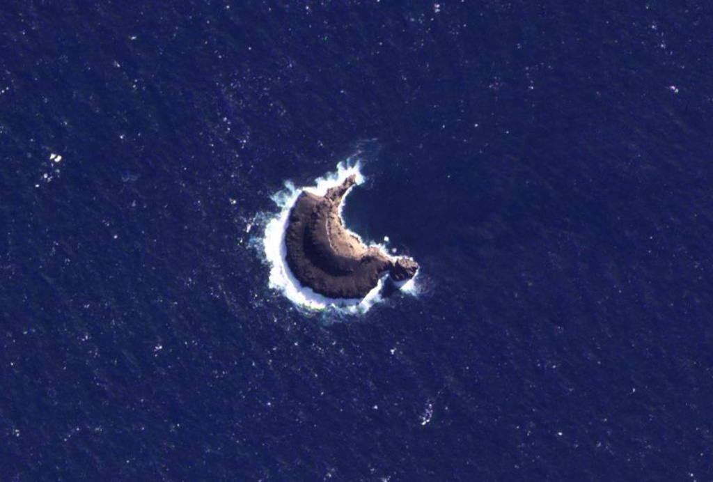
Height: -897 mdpl Country: New Zealand Type: Stratovolcano
Height: 490 mdpl Country: Iceland Type: Fissure vent
Height: 550 mdpl Country: United Kingdom Type: Stratovolcano
Height: 70 mdpl Country: Iceland Type: Fissure vent
Height: 1594 mdpl Country: Ethiopia Type: Volcanic field
Height: -4100 mdpl Country: United States Type: Fissure vent
Height: 1630 mdpl Country: Antarctica Type: Shield
Height: 1370 mdpl Country: United Kingdom Type: Shield
Height: 1650 mdpl Country: Iceland Type: Stratovolcano
Height: 835 mdpl Country: United Kingdom Type: Stratovolcano
Height: -2550 mdpl Country: Canada Type: Fissure vent
Height: 1080 mdpl Country: Chile Type: Volcanic field
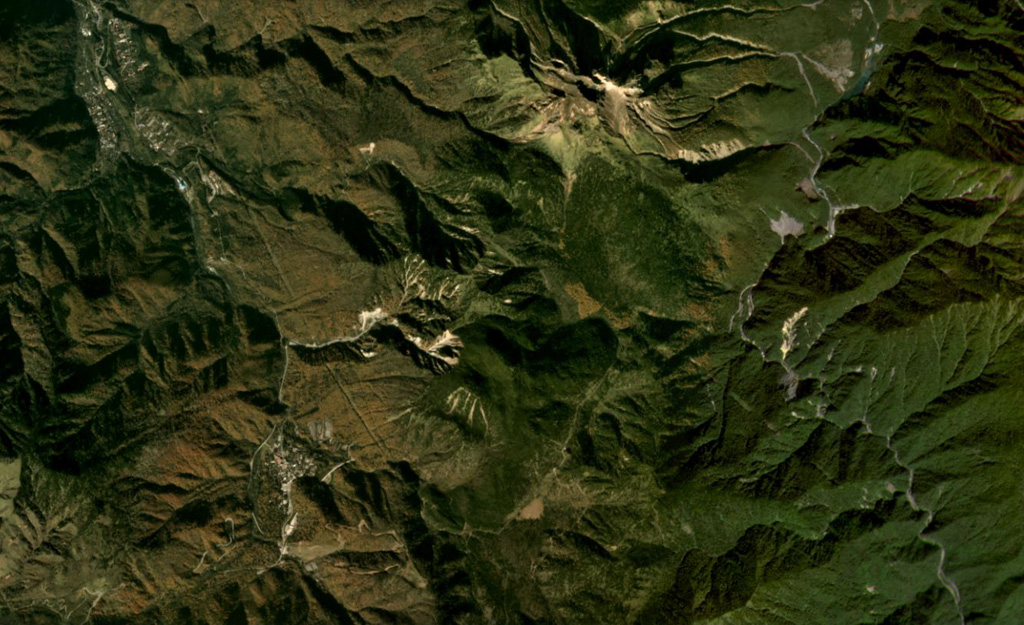
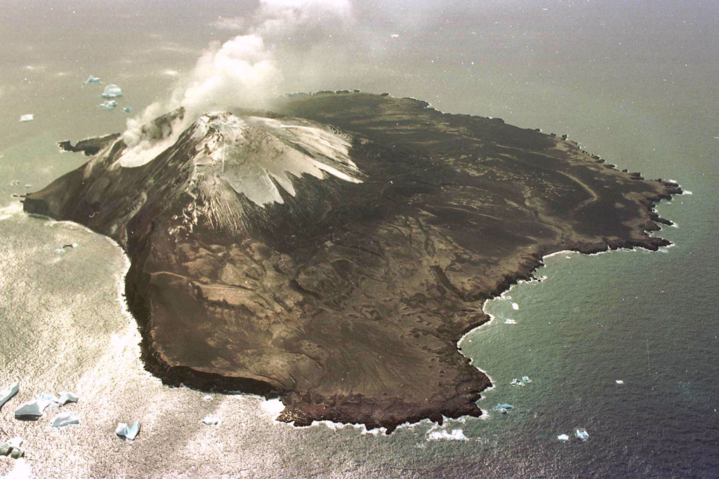
Height: 1208 mdpl Country: Japan - administered by Russia Type: Stratovolcano
Height: 2109 mdpl Country: Japan Type: Stratovolcano
Height: 551 mdpl Country: United Kingdom Type: Stratovolcano
Height: 190 mdpl Country: United Kingdom Type: Stratovolcano
Height: -55 mdpl Country: United Kingdom Type: Volcanic field
Height: 1075 mdpl Country: United Kingdom Type: Stratovolcano(es)
Height: 1100 mdpl Country: United Kingdom Type: Stratovolcano
Height: -3000 mdpl Country: Undersea Features Type: Fissure vent
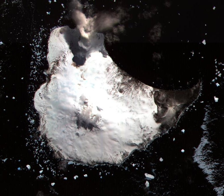
Height: 549 mdpl Country: Antarctica Type: Stratovolcano
Height: -1500 mdpl Country: Tonga Type: Shield
Height: -779 mdpl Country: Italy Type: Complex
Height: 1046 mdpl Country: Japan Type: Crater rows
Height: -3100 mdpl Country: United States Type: Fissure vent(s)
Height: 843 mdpl Country: United Kingdom Type: Stratovolcano
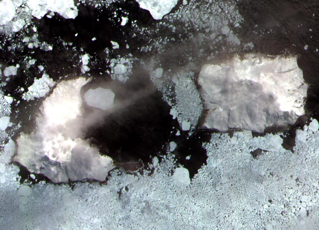
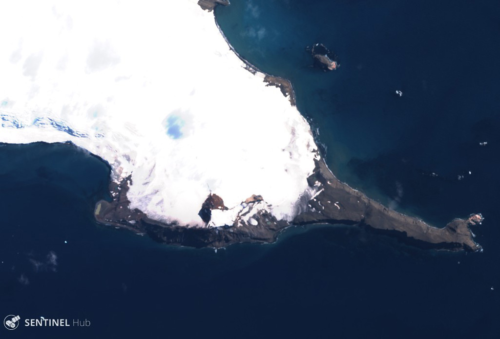
Height: 368 mdpl Country: Antarctica Type: Pyroclastic cone(s)
Height: 353 mdpl Country: Antarctica Type: Pyroclastic cone
Height: 2360 mdpl Country: Argentina Type: Lava dome(s)
Height: 3180 mdpl Country: Chile Type: Stratovolcano
Height: 3788 mdpl Country: Chile Type: Stratovolcano
Height: 2268 mdpl Country: Chile Type: Stratovolcano
Height: 4702 mdpl Country: Argentina Type: Stratovolcano
Height: 3175 mdpl Country: Chile Type: Stratovolcano
Height: 2162 mdpl Country: Chile Type: Caldera
Height: 4280 mdpl Country: Chile Type: Stratovolcano
Height: 6070 mdpl Country: Chile-Argentina Type: Stratovolcano(es)
Height: 5189 mdpl Country: Argentina Type: Caldera
Height: 501 mdpl Country: Chile Type: Shield(s)
Height: 3953 mdpl Country: Chile Type: Stratovolcano(es)
Height: 4860 mdpl Country: Chile Type: Stratovolcano
Height: 6658 mdpl Country: Argentina Type: Complex
Height: 5741 mdpl Country: Argentina Type: Stratovolcano
Height: 6879 mdpl Country: Chile-Argentina Type: Stratovolcano
Height: 6205 mdpl Country: Chile-Argentina Type: Stratovolcano
Height: 6638 mdpl Country: Chile-Argentina Type: Stratovolcano(es)
Height: 5481 mdpl Country: Chile-Argentina Type: Complex
Height: 5906 mdpl Country: Chile-Argentina Type: Complex
Height: 6739 mdpl Country: Chile-Argentina Type: Stratovolcano
Height: 5592 mdpl Country: Chile Type: Stratovolcano(es)
Height: 2979 mdpl Country: Chile Type: Stratovolcano
Height: 3164 mdpl Country: Chile Type: Stratovolcano
Height: 4114 mdpl Country: Argentina Type: Stratovolcano(es)
Height: 2108 mdpl Country: Chile Type: Pyroclastic cone(s)
Height: 1890 mdpl Country: Chile Type: Pyroclastic cone
Height: 3715 mdpl Country: Argentina Type: Volcanic field
Height: 3621 mdpl Country: Chile Type: Stratovolcano(es)
Height: 2739 mdpl Country: Chile Type: Stratovolcano
Height: 3007 mdpl Country: Argentina Type: Volcanic field
Height: 3508 mdpl Country: Chile Type: Caldera
Height: 4999 mdpl Country: Argentina Type: Stratovolcano
Height: 3977 mdpl Country: Chile Type: Stratovolcano(es)
Height: 5660 mdpl Country: Chile-Argentina Type: Stratovolcano
Height: 5323 mdpl Country: Chile-Argentina Type: Caldera
Height: 4670 mdpl Country: Argentina Type: Caldera
Height: 2953 mdpl Country: Chile-Argentina Type: Stratovolcano
Height: 5486 mdpl Country: Argentina Type: Stratovolcano
Height: 6095 mdpl Country: Argentina Type: Stratovolcano
Height: 5706 mdpl Country: Chile-Argentina Type: Stratovolcano
Height: 4652 mdpl Country: Argentina Type: Pyroclastic cone
Height: 5413 mdpl Country: Chile-Argentina Type: Complex
Height: 6173 mdpl Country: Chile-Argentina Type: Complex
Height: 5451 mdpl Country: Chile-Argentina Type: Stratovolcano
Height: 3495 mdpl Country: Argentina Type: Volcanic field
Height: 3500 mdpl Country: Chile Type: Pyroclastic cone(s)
Height: 6233 mdpl Country: Chile Type: Stratovolcano(es)
Height: 3109 mdpl Country: Chile Type: Lava cone(es)
Height: 3550 mdpl Country: Chile Type: Maar
Height: 4220 mdpl Country: Chile Type: Pyroclastic cone(s)
Height: 4458 mdpl Country: Chile Type: Stratovolcano(es)
Height: 5910 mdpl Country: Chile Type: Stratovolcano(es)
Height: 5778 mdpl Country: Chile Type: Stratovolcano
Height: 5884 mdpl Country: Chile Type: Stratovolcano
Height: 4555 mdpl Country: Chile Type: Maar
Height: 5631 mdpl Country: Chile Type: Stratovolcano
Height: 2448 mdpl Country: Argentina Type: Stratovolcano
Height: 6373 mdpl Country: Argentina Type: Stratovolcano
Height: 6031 mdpl Country: Chile-Argentina Type: Stratovolcano
Height: 5852 mdpl Country: Chile Type: Stratovolcano(es)
Height: 6023 mdpl Country: Chile Type: Stratovolcano
Height: 5703 mdpl Country: Chile Type: Shield(pyroclastic)
![Odamoisan [Tebenkov]](/image/volcano/GVP-12612.jpg)