Volcano Monitoring
Global volcanic activity monitoring, eruption alerts, and risk assessment
Latest Volcano Activity
1
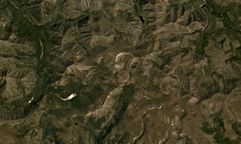
Udokan Plateau
Russia
Type:Volcanic field
Elevation:2,180 m
Last Update:
7 months ago
Alert Level:Normal
Page 1
Global volcanic activity monitoring, eruption alerts, and risk assessment