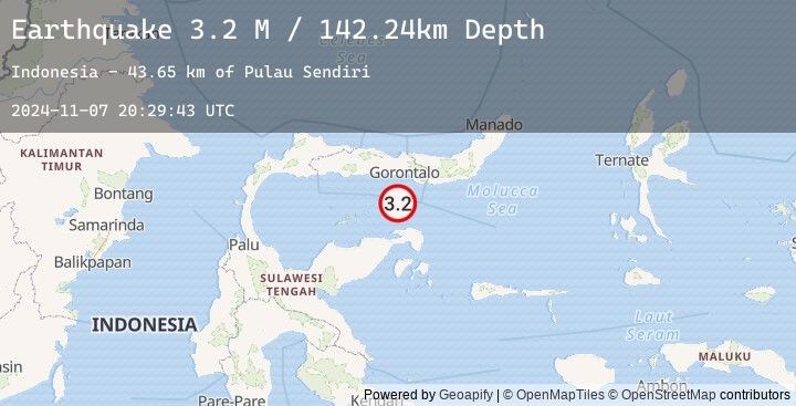
Earthquake Minahassa Peninsula, Sulawesi
Thu, 07 Nov 2024 20:29:43 GMT
Time
1 year ago
Location
-0.0746, 122.9316
Depth
142.2 KM
Event Summary
A 3.2 magnitude earthquake struck on Minahassa Peninsula, Sulawesi, at Thu, 07 Nov 2024 20:29:43 GMT. Depth: 142.2444km. Reviewed by BMKG seismologists, this minor quake occurred at a magnitude type of M.
Magnitude
3.2
M
Source
BMKG
Intensity
-
Earthquake Details
AutomaticEvent IDbmg2024vxua
Tsunami PotentialNo
Magnitude TypeM
Nearest Places
- Pulau Sendiri43.6 km
- Pulau Dondolang51.0 km
- Pulau Ban52.0 km
- Pulau Mantawalu Daka52.4 km
- Pulau Mantawalu Ise55.8 km
Comments
Join the discussion about this event.
Latest Earthquakes
2.0Mag
Sumbawa Region, Indonesia
Time
2 minutes ago
Depth15.02 km
SourceBMKG (Automatic)
2.8Mag
South of Java, Indonesia
Time
10 minutes ago
Depth15.94 km
SourceBMKG (Automatic)
4.7Mag
Northern Molucca Sea
Time
13 minutes ago
Depth47.87 km
SourceBMKG (Automatic)
4.4Mag
Timor Region
Time
20 minutes ago
Depth10.00 km
SourceBMKG (Automatic)
4.4Mag
EAST TIMOR REGION
Time
20 minutes ago
Depth10.00 km
SourceEMSC (Automatic)
Nearby Earthquakes
2.5Mag
Minahassa Peninsula, Sulawesi
Time
13 hours ago
Depth245.95 km
SourceBMKG (Automatic)
2.5Mag
MINAHASA, SULAWESI, INDONESIA
Time
13 hours ago
Depth246.00 km
SourceEMSC (Automatic)
2.6Mag
Minahassa Peninsula, Sulawesi
Time
16 hours ago
Depth105.79 km
SourceBMKG (Automatic)
2.1Mag
Minahassa Peninsula, Sulawesi
Time
16 hours ago
Depth23.75 km
SourceBMKG (Automatic)