Earthquake Near North Coast of West Papua
Thu, 01 Jan 2026 03:40:57 GMT
Time3 hours ago
Location
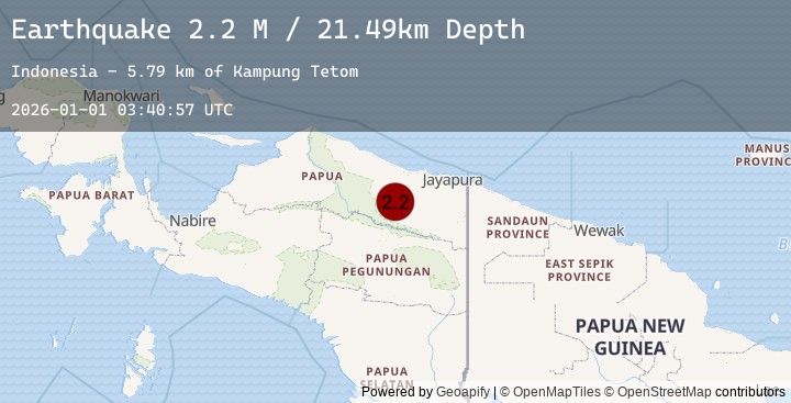
-2.9849, 139.5596
Depth
21.5 KM
Event Summary
A 2.2 magnitude earthquake struck on Near North Coast of West Papua, at Thu, 01 Jan 2026 03:40:57 GMT. Depth: 21.492689km. Reviewed by BMKG seismologists, this minor quake occurred at a magnitude type of M.
Magnitude
2.2
M
Source
BMKG
Intensity
-
Earthquake Details
AutomaticEvent IDbmg2026aahh
Tsunami PotentialNo
Magnitude TypeM
Nearest Places
- Kampung Tetom5.8 km
- Kampung Kiren10.0 km
- Barito14.8 km
- Kampung Umbron19.0 km
- Distrik Bonggo21.0 km
Comments
Join the discussion about this event.
Latest Earthquakes
2.0Mag
2 km N of The Geysers, CA
Time3 hours ago
Depth0.80 km
SourceUSGS (Automatic)
1.1Mag
2 km N of The Geysers, CA
Time3 hours ago
Depth1.45 km
SourceUSGS (Automatic)
0.8Mag
12 km NE of Little Lake, CA
Time3 hours ago
Depth2.11 km
SourceUSGS (Automatic)
1.9Mag
12 km SSW of Alder, Washington
Time3 hours ago
Depth16.99 km
SourceUSGS (Automatic)
2.6Mag
CENTRAL TURKEY
Time3 hours ago
Depth7.30 km
SourceEMSC (Automatic)