Earthquake Flores Region, Indonesia
Thu, 01 Jan 2026 05:00:38 GMT
Time1 hour ago
Location
-8.9807, 123.9887
Depth
46.0 KM
Event Summary
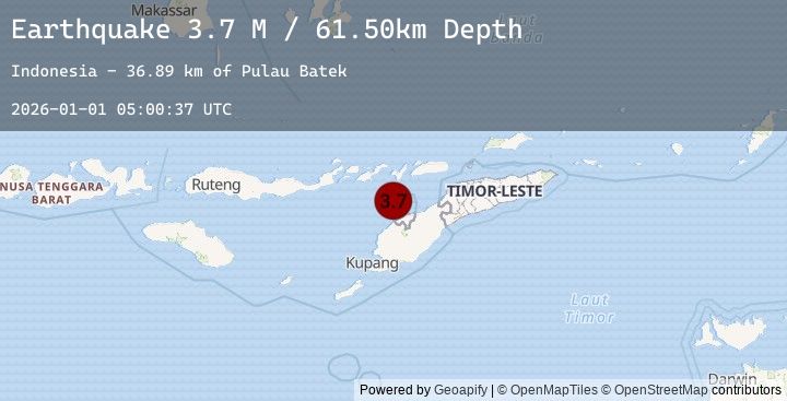
A 3.7 magnitude earthquake struck on Flores Region, Indonesia, at Thu, 01 Jan 2026 05:00:38 GMT. Depth: 45.9561km. Reviewed by BMKG seismologists, this minor quake occurred at a magnitude type of M.
Magnitude
3.7
M
Source
BMKG
Intensity
-
Earthquake Details
AutomaticEvent IDbmg2026aajx
Tsunami PotentialNo
Magnitude TypeM
Nearest Places
- Pulau Batek31.8 km
- Point Panamtasa37.0 km
- River Oenis37.1 km
- River Namun37.5 km
- River Niutmieo38.0 km
Comments
Join the discussion about this event.
Latest Earthquakes
3.0Mag
Northern Sumatra, Indonesia
Time1 hour ago
Depth47.53 km
SourceBMKG (Automatic)
2.8Mag
Timor Region
Time2 hours ago
Depth750.00 km
SourceBMKG (Automatic)
2.8Mag
TIMOR REGION, INDONESIA
Time2 hours ago
Depth750.00 km
SourceEMSC (Automatic)
3.5Mag
JUJUY, ARGENTINA
Time2 hours ago
Depth216.00 km
SourceEMSC (Automatic)
2.7Mag
SAN JUAN, ARGENTINA
Time2 hours ago
Depth93.00 km
SourceEMSC (Automatic)
Nearby Earthquakes
2.5Mag
Timor Region
Time14 hours ago
Depth37.12 km
SourceBMKG (Automatic)
2.5Mag
TIMOR REGION, INDONESIA
Time14 hours ago
Depth37.00 km
SourceEMSC (Automatic)
2.2Mag
Timor Region
Time17 hours ago
Depth61.99 km
SourceBMKG (Automatic)
2.1Mag
Timor Region
Time20 hours ago
Depth56.65 km
SourceBMKG (Automatic)
3.0Mag
TIMOR REGION
Time1 day ago
Depth84.00 km
SourceEMSC (Automatic)