Earthquake Bali Region, Indonesia
Thu, 01 Jan 2026 15:28:03 GMT
Time1 hour ago
Location
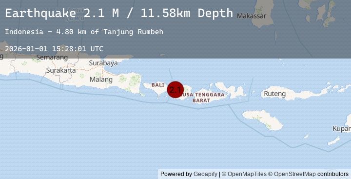
-8.4002, 115.9957
Depth
6.5 KM
Event Summary
A 2.1 magnitude earthquake struck on Bali Region, Indonesia, at Thu, 01 Jan 2026 15:28:03 GMT. Depth: 6.490499km. Reviewed by BMKG seismologists, this minor quake occurred at a magnitude type of M.
Magnitude
2.1
M
Source
BMKG
Intensity
-
Earthquake Details
AutomaticEvent IDbmg2026abep
Tsunami PotentialNo
Magnitude TypeM
Nearest Places
- Tanjung Blambanan5.7 km
- Teluk Nipah5.8 km
- Tanjung Serombong6.0 km
- Tanjung Sekedik6.0 km
- Teluk Malimbu6.1 km
Comments
Join the discussion about this event.
Latest Earthquakes
3.8Mag
PANAMA-COSTA RICA BORDER REGION
Time1 hour ago
Depth12.00 km
SourceEMSC (Automatic)
2.3Mag
10 km W of Susitna North, Alaska
Time2 hours ago
Depth0.30 km
SourceUSGS (Automatic)
0.7Mag
23 km ESE of Ridgecrest, CA
Time2 hours ago
Depth0.79 km
SourceUSGS (Automatic)
2.2Mag
30 km NNE of Karluk, Alaska
Time2 hours ago
Depth56.60 km
SourceUSGS (Automatic)
1.8Mag
7 km NNW of Big Bear Lake, CA
Time2 hours ago
Depth1.09 km
SourceUSGS (Automatic)
Nearby Earthquakes
No significant earthquakes nearby recently.