Earthquake Bali Region, Indonesia
Fri, 02 Jan 2026 05:15:29 GMT
Time4 hours ago
Location
-8.0464, 114.2090
Depth
5.0 KM
Event Summary
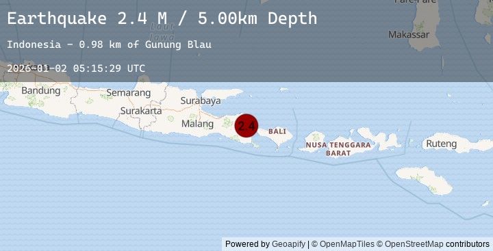
A 2.4 magnitude earthquake struck on Bali Region, Indonesia, at Fri, 02 Jan 2026 05:15:29 GMT. Depth: 5km. Reviewed by BMKG seismologists, this minor quake occurred at a magnitude type of M.
Magnitude
2.4
M
Source
BMKG
Intensity
-
Agency Reports
1 Sources| Source | Magnitude | Depth | Time |
|---|---|---|---|
| BMKGPrimary | 2.4 | 5 km | 4 hours ago |
Earthquake Details
AutomaticEvent IDbmg2026acfx
Tsunami PotentialNo
Magnitude TypeM
Nearest Places
- Gunung Blau1.0 km
- Gunung Papak2.2 km
- Desa Sumber Rejo2.2 km
- Kawah Telagaweru2.4 km
- Curah Ambal2.7 km
Comments
Join the discussion about this event.
Latest Earthquakes
2.8Mag
GREECE
Time4 hours ago
Depth12.10 km
SourceNOA (Automatic)
2.8Mag
STRAIT OF GIBRALTAR
Time4 hours ago
Depth32.00 km
SourceEMSC (Automatic)
1.2Mag
8 km SSE of Palomar Observatory, CA
Time4 hours ago
Depth13.50 km
SourceUSGS (Automatic)
1.8Mag
2 km N of Topaz Lake, Nevada
Time5 hours ago
Depth1.01 km
SourceUSGS (Automatic)
3.2Mag
Near North Coast of Papua New Guinea
Time5 hours ago
Depth10.00 km
SourceBMKG (Automatic)