Earthquake West Papua Region, Indonesia
Fri, 02 Jan 2026 10:56:07 GMT
Time4 hours ago
Location
-0.5688, 134.1529
Depth
10.0 KM
Event Summary
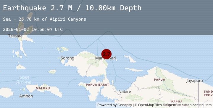
A 2.7 magnitude earthquake struck on West Papua Region, Indonesia, at Fri, 02 Jan 2026 10:56:07 GMT. Depth: 10km. Reviewed by BMKG seismologists, this minor quake occurred at a magnitude type of M.
Magnitude
2.7
M
Source
BMKG
Intensity
-
Agency Reports
1 Sources| Source | Magnitude | Depth | Time |
|---|---|---|---|
| BMKGPrimary | 2.7 | 10 km | 4 hours ago |
Earthquake Details
AutomaticEvent IDbmg2026acrd
Tsunami PotentialNo
Magnitude TypeM
Nearest Places
- Aipiri Canyons25.8 km
- Tanjung Saweba27.6 km
- Nuni28.1 km
- Kampung Tanah Rubuh28.3 km
- Kampung Meyunfoka28.5 km
Comments
Join the discussion about this event.
Latest Earthquakes
3.4Mag
SAN JUAN, ARGENTINA
Time4 hours ago
Depth97.00 km
SourceNSNA (Automatic)
1.6Mag
23 km ENE of Minto, Alaska
Time4 hours ago
Depth12.50 km
SourceUSGS (Automatic)
2.5Mag
AZORES ISLANDS, PORTUGAL
Time4 hours ago
Depth5.00 km
SourceIPMA (Automatic)
1.1Mag
3 km SSE of Brawley, CA
Time4 hours ago
Depth5.86 km
SourceUSGS (Automatic)
1.0Mag
9 km SW of Idyllwild, CA
Time4 hours ago
Depth18.22 km
SourceUSGS (Automatic)
Nearby Earthquakes
No significant earthquakes nearby recently.