Earthquake Halmahera, Indonesia
Fri, 02 Jan 2026 19:36:26 GMT
Time4 hours ago
Location
2.9586, 128.7830
Depth
10.6 KM
Event Summary
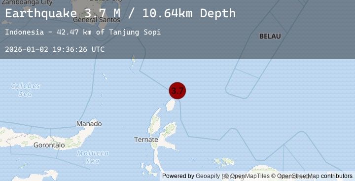
A 3.7 magnitude earthquake struck on Halmahera, Indonesia, at Fri, 02 Jan 2026 19:36:26 GMT. Depth: 10.638635km. Reviewed by BMKG seismologists, this minor quake occurred at a magnitude type of M.
Magnitude
3.7
M
Source
BMKG
Intensity
-
Agency Reports
1 Sources| Source | Magnitude | Depth | Time |
|---|---|---|---|
| BMKGPrimary | 3.7 | 11 km | 4 hours ago |
Earthquake Details
AutomaticEvent IDbmg2026adik
Tsunami PotentialNo
Magnitude TypeM
Nearest Places
- Tanjung Sopi42.4 km
- Papuamalolu43.8 km
- Kakaibabao44.4 km
- Tanjung Gogopoa46.1 km
- Desa Loleo46.2 km
Comments
Join the discussion about this event.
Latest Earthquakes
1.7Mag
75 km W of Karluk, Alaska
Time4 hours ago
Depth72.60 km
SourceUSGS (Automatic)
3.4Mag
SOUTH ISLAND OF NEW ZEALAND
Time4 hours ago
Depth14.80 km
SourceGNS (Automatic)
1.5Mag
73 km NW of Rachel, Nevada
Time4 hours ago
Depth0.86 km
SourceUSGS (Automatic)
4.6Mag
ATACAMA, CHILE
Time4 hours ago
Depth72.80 km
SourceCSN (Automatic)
2.1Mag
46 km W of Cantwell, Alaska
Time4 hours ago
Depth94.50 km
SourceUSGS (Automatic)
Nearby Earthquakes
No significant earthquakes nearby recently.