Earthquake West Papua Region, Indonesia
Fri, 02 Jan 2026 23:51:36 GMT
Time2 hours ago
Location
-1.8027, 133.3725
Depth
10.0 KM
Event Summary
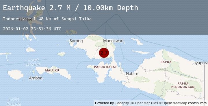
A 2.7 magnitude earthquake struck on West Papua Region, Indonesia, at Fri, 02 Jan 2026 23:51:36 GMT. Depth: 10km. Reviewed by BMKG seismologists, this minor quake occurred at a magnitude type of M.
Magnitude
2.7
M
Source
BMKG
Intensity
-
Agency Reports
1 Sources| Source | Magnitude | Depth | Time |
|---|---|---|---|
| BMKGPrimary | 2.7 | 10 km | 2 hours ago |
Earthquake Details
AutomaticEvent IDbmg2026adqs
Tsunami PotentialNo
Magnitude TypeM
Nearest Places
- Sungai Tuika1.5 km
- Sungai Tumrus2.4 km
- Gunung Imanuhu3.2 km
- Sungai Cucumos3.6 km
- Wasian4.3 km
Comments
Join the discussion about this event.
Latest Earthquakes
3.8Mag
North of Halmahera, Indonesia
Time2 hours ago
Depth3.54 km
SourceBMKG (Automatic)
3.5Mag
West Papua Region, Indonesia
Time2 hours ago
Depth10.00 km
SourceBMKG (Automatic)
1.3Mag
4 km SE of Home Gardens, CA
Time2 hours ago
Depth2.17 km
SourceUSGS (Automatic)
3.2Mag
LUZON, PHILIPPINES
Time2 hours ago
Depth5.00 km
SourcePIVS (Automatic)
2.3Mag
NORTHERN ITALY
Time2 hours ago
Depth10.50 km
SourceINGV (Automatic)
Nearby Earthquakes
No significant earthquakes nearby recently.