Earthquake Northern Sumatra, Indonesia
Sat, 03 Jan 2026 02:47:34 GMT
Time2 hours ago
Location
3.2079, 97.8341
Depth
2.9 KM
Event Summary
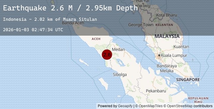
A 2.6 magnitude earthquake struck on Northern Sumatra, Indonesia, at Sat, 03 Jan 2026 02:47:34 GMT. Depth: 2.948626km. Reviewed by BMKG seismologists, this minor quake occurred at a magnitude type of M.
Magnitude
2.6
M
Source
BMKG
Intensity
-
Agency Reports
1 Sources| Source | Magnitude | Depth | Time |
|---|---|---|---|
| BMKGPrimary | 2.6 | 3 km | 2 hours ago |
Earthquake Details
AutomaticEvent IDbmg2026adwn
Tsunami PotentialNo
Magnitude TypeM
Nearest Places
- Muara Situlan2.0 km
- Lawe Sulang2.5 km
- Muara Baru5.3 km
- Lawe Pepasir5.5 km
- Lawe Kompas6.2 km
Comments
Join the discussion about this event.
Latest Earthquakes
1.1Mag
7 km N of Running Springs, CA
Time2 hours ago
Depth7.50 km
SourceUSGS (Automatic)
2.3Mag
South of Java, Indonesia
Time2 hours ago
Depth50.27 km
SourceBMKG (Automatic)
2.7Mag
AEGEAN SEA
Time2 hours ago
Depth6.70 km
SourceKOERI (Automatic)
3.0Mag
Java, Indonesia
Time3 hours ago
Depth10.80 km
SourceBMKG (Automatic)
5.0Mag
Java Sea
Time3 hours ago
Depth19.94 km
SourceBMKG (Automatic)
Nearby Earthquakes
No significant earthquakes nearby recently.