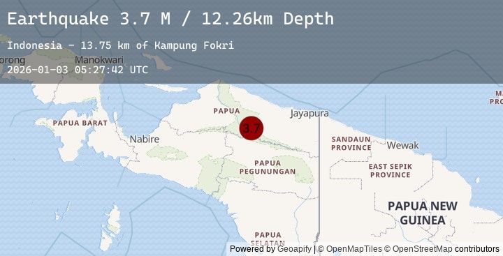
Earthquake Near North Coast of West Papua
Sat, 03 Jan 2026 05:27:43 GMT
Time2 days ago
Location
-1.5269, 139.4755
Depth
10.0 KM
Event Summary
A 3.2 magnitude earthquake struck on Near North Coast of West Papua, at Sat, 03 Jan 2026 05:27:43 GMT. Depth: 10km. Reviewed by BMKG seismologists, this minor quake occurred at a magnitude type of M.
Magnitude
3.2
M
Source
BMKG
Intensity
-
Agency Reports
1 Sources| Source | Magnitude | Depth | Time |
|---|---|---|---|
| BMKGPrimary | 3.2 | 10 km | 2 days ago |
Earthquake Details
AutomaticEvent IDbmg2026aebv
Tsunami PotentialNo
Magnitude TypeM
Nearest Places
- Ansudu54.9 km
- Pulau Yamna57.1 km
- Pulau Mademo61.5 km
- Pulau Masimasi65.2 km
- Pulau Yarsun65.6 km
Comments
Join the discussion about this event.
Latest Earthquakes
3.0Mag
GUATEMALA
Time2 days ago
Depth3.00 km
SourceINET (Automatic)
1.1Mag
8 km W of Cobb, CA
Time2 days ago
Depth2.11 km
SourceUSGS (Automatic)
2.5Mag
50 km W of Nanwalek, Alaska
Time2 days ago
Depth76.50 km
SourceUSGS (Automatic)
3.2Mag
OFFSHORE EL SALVADOR
Time2 days ago
Depth29.00 km
SourceINET (Automatic)
2.1Mag
Sulawesi, Indonesia
Time2 days ago
Depth5.00 km
SourceBMKG (Automatic)
Nearby Earthquakes
No significant earthquakes nearby recently.