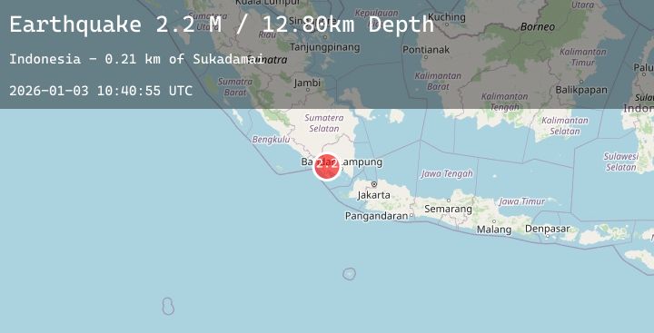
Earthquake Southern Sumatra, Indonesia
Sat, 03 Jan 2026 10:40:55 GMT
Time3 days ago
Location
-5.3199, 104.5514
Depth
12.8 KM
Event Summary
A 2.2 magnitude earthquake struck on Southern Sumatra, Indonesia, at Sat, 03 Jan 2026 10:40:55 GMT. Depth: 12.804805km. Reviewed by BMKG seismologists, this minor quake occurred at a magnitude type of M.
Magnitude
2.2
M
Source
BMKG
Intensity
-
Agency Reports
1 Sources| Source | Magnitude | Depth | Time |
|---|---|---|---|
| BMKGPrimary | 2.2 | 13 km | 3 days ago |
Earthquake Details
AutomaticEvent IDbmg2026aemd
Tsunami PotentialNo
Magnitude TypeM
Nearest Places
- Sukadamai0.2 km
- Sidorejo1.0 km
- Sendangagung1.1 km
- Mujirukun1.3 km
- Wijimulyo1.3 km
Comments
Join the discussion about this event.
Latest Earthquakes
1.5Mag
21 km E of Little Lake, CA
Time3 days ago
Depth4.61 km
SourceUSGS (Automatic)
2.3Mag
NORTHERN CALIFORNIA
Time3 days ago
Depth7.60 km
SourceNC (Automatic)
3.0Mag
South of Java, Indonesia
Time3 days ago
Depth29.77 km
SourceBMKG (Automatic)
4.4Mag
Southern Sumatra, Indonesia
Time3 days ago
Depth198.09 km
SourceBMKG (Automatic)
2.7Mag
52 km SE of Chignik, Alaska
Time3 days ago
Depth36.70 km
SourceUSGS (Automatic)