Earthquake Northern Sumatra, Indonesia
Mon, 05 Jan 2026 01:51:01 GMT
Time3 days ago
Location
4.9120, 96.3454
Depth
5.0 KM
Event Summary
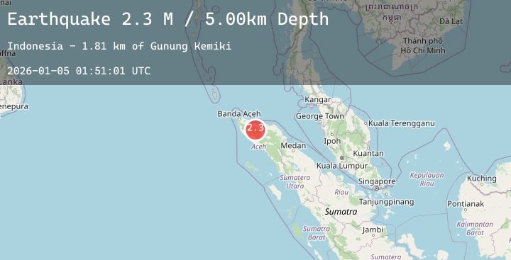
A 2.3 magnitude earthquake struck on Northern Sumatra, Indonesia, at Mon, 05 Jan 2026 01:51:01 GMT. Depth: 5km. Reviewed by BMKG seismologists, this minor quake occurred at a magnitude type of M.
Magnitude
2.3
M
Source
BMKG
Intensity
-
Agency Reports
1 Sources| Source | Magnitude | Depth | Time |
|---|---|---|---|
| BMKGPrimary | 2.3 | 5 km | 3 days ago |
Earthquake Details
AutomaticEvent IDbmg2026ahlr
Tsunami PotentialNo
Magnitude TypeM
Nearest Places
- Gunung Kemiki1.8 km
- Alue Pisang3.6 km
- Gunung Peutsagu4.5 km
- Alue Seunong4.7 km
- Laut Kucak5.4 km
Comments
Join the discussion about this event.
Latest Earthquakes
1.4Mag
10 km SSE of Hemet, CA
Time3 days ago
Depth15.98 km
SourceUSGS (Automatic)
0.7Mag
52 km WNW of Ninilchik, Alaska
Time3 days ago
Depth60.70 km
SourceUSGS (Automatic)
1.4Mag
WESTERN TURKEY
Time3 days ago
Depth7.00 km
SourceAFAD (Automatic)
2.7Mag
53 km NE of Ouzinkie, Alaska
Time3 days ago
Depth0.70 km
SourceUSGS (Automatic)
1.1Mag
6 km WNW of Cobb, CA
Time3 days ago
Depth1.82 km
SourceUSGS (Automatic)
Nearby Earthquakes
No significant earthquakes nearby recently.