Earthquake Northern Molucca Sea
Mon, 05 Jan 2026 19:08:53 GMT
Time3 days ago
Location
0.6857, 125.5479
Depth
14.3 KM
Event Summary
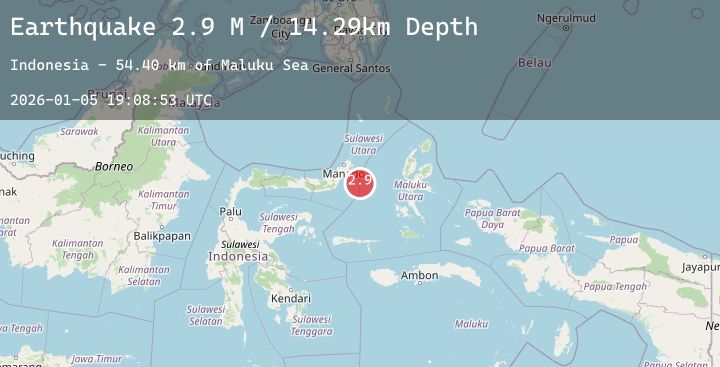
A 2.9 magnitude earthquake struck on Northern Molucca Sea, at Mon, 05 Jan 2026 19:08:53 GMT. Depth: 14.286141km. Reviewed by BMKG seismologists, this minor quake occurred at a magnitude type of M.
Magnitude
2.9
M
Source
BMKG
Intensity
-
Agency Reports
1 Sources| Source | Magnitude | Depth | Time |
|---|---|---|---|
| BMKGPrimary | 2.9 | 14 km | 3 days ago |
Earthquake Details
AutomaticEvent IDbmg2026aitx
Tsunami PotentialNo
Magnitude TypeM
Nearest Places
- Maluku Sea54.3 km
- Kelurahan Pantai Sagu73.0 km
- Pulau Tifore73.3 km
- Kelurahan Tifure73.4 km
- Pulau Pakolor73.9 km
Comments
Join the discussion about this event.
Latest Earthquakes
1.9Mag
115 km SE of McCarthy, Alaska
Time3 days ago
Depth12.90 km
SourceUSGS (Automatic)
3.0Mag
ICELAND REGION
Time3 days ago
Depth12.90 km
SourceIMO (Automatic)
2.1Mag
Sumbawa Region, Indonesia
Time3 days ago
Depth23.07 km
SourceBMKG (Automatic)
3.0Mag
PANAY, PHILIPPINES
Time3 days ago
Depth2.00 km
SourcePIVS (Automatic)
4.9Mag
EAST OF KURIL ISLANDS
Time3 days ago
Depth10.00 km
SourceNEIC (Automatic)
Nearby Earthquakes
No significant earthquakes nearby recently.