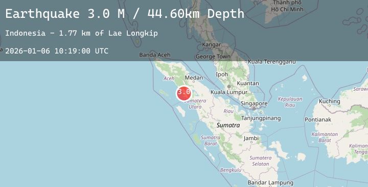
Earthquake Northern Sumatra, Indonesia
Tue, 06 Jan 2026 10:18:59 GMT
Time2 days ago
Location
2.5652, 97.8519
Depth
53.2 KM
Event Summary
A 3.0 magnitude earthquake struck on Northern Sumatra, Indonesia, at Tue, 06 Jan 2026 10:18:59 GMT. Depth: 53.19693km. Reviewed by BMKG seismologists, this minor quake occurred at a magnitude type of M.
Magnitude
3.0
M
Source
BMKG
Intensity
-
Agency Reports
1 Sources| Source | Magnitude | Depth | Time |
|---|---|---|---|
| BMKGPrimary | 3.0 | 53 km | 2 days ago |
Earthquake Details
AutomaticEvent IDbmg2026ajxy
Tsunami PotentialNo
Magnitude TypeM
Nearest Places
- Lae Siaga1.7 km
- Gampong Pea Jambu2.3 km
- Gampong Darul Aman2.8 km
- Lae Longkip3.1 km
- Panji3.1 km
Comments
Join the discussion about this event.
Latest Earthquakes
2.1Mag
Bali Region, Indonesia
Time2 days ago
Depth29.73 km
SourceBMKG (Automatic)
2.7Mag
ANTOFAGASTA, CHILE
Time2 days ago
Depth130.80 km
SourceCSN (Automatic)
5.5Mag
RODRIGUES REGION, MAURITIUS
Time2 days ago
Depth10.00 km
SourceEMSC (Automatic)
2.9Mag
CENTRAL ALASKA
Time2 days ago
Depth20.90 km
SourceAK (Automatic)
2.0Mag
CENTRAL TURKEY
Time2 days ago
Depth7.30 km
SourceKOERI (Automatic)
Nearby Earthquakes
No significant earthquakes nearby recently.