Earthquake West Papua, Indonesia
Tue, 06 Jan 2026 14:26:02 GMT
Time2 days ago
Location
-3.4064, 139.7381
Depth
113.0 KM
Event Summary
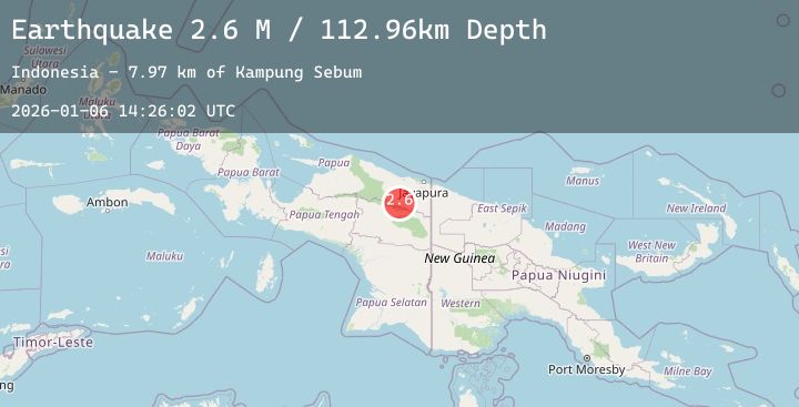
A 2.6 magnitude earthquake struck on West Papua, Indonesia, at Tue, 06 Jan 2026 14:26:02 GMT. Depth: 112.961647km. Reviewed by BMKG seismologists, this minor quake occurred at a magnitude type of M.
Magnitude
2.6
M
Source
BMKG
Intensity
-
Agency Reports
1 Sources| Source | Magnitude | Depth | Time |
|---|---|---|---|
| BMKGPrimary | 2.6 | 113 km | 2 days ago |
Earthquake Details
AutomaticEvent IDbmg2026akgc
Tsunami PotentialNo
Magnitude TypeM
Nearest Places
- Kampung Sebum8.0 km
- Aanvangsbivak9.3 km
- Kampung Kamikaru15.5 km
- Kampung Martaru16.3 km
- Kampung Naira17.1 km
Comments
Join the discussion about this event.
Latest Earthquakes
2.9Mag
Halmahera, Indonesia
Time2 days ago
Depth4.55 km
SourceBMKG (Automatic)
2.2Mag
ISLAND OF HAWAII, HAWAII
Time2 days ago
Depth30.70 km
SourceHV (Automatic)
2.1Mag
Sulawesi, Indonesia
Time2 days ago
Depth16.31 km
SourceBMKG (Automatic)
0.7Mag
13 km SW of Searles Valley, CA
Time2 days ago
Depth5.53 km
SourceUSGS (Automatic)
3.0Mag
Sumbawa Region, Indonesia
Time2 days ago
Depth8.46 km
SourceBMKG (Automatic)
Nearby Earthquakes
No significant earthquakes nearby recently.