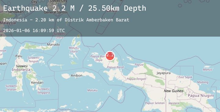
Earthquake West Papua Region, Indonesia
Tue, 06 Jan 2026 16:09:59 GMT
Time3 days ago
Location
-0.5580, 132.9845
Depth
25.5 KM
Event Summary
A 2.2 magnitude earthquake struck on West Papua Region, Indonesia, at Tue, 06 Jan 2026 16:09:59 GMT. Depth: 25.496258km. Reviewed by BMKG seismologists, this minor quake occurred at a magnitude type of M.
Magnitude
2.2
M
Source
BMKG
Intensity
-
Agency Reports
1 Sources| Source | Magnitude | Depth | Time |
|---|---|---|---|
| BMKGPrimary | 2.2 | 25 km | 3 days ago |
Earthquake Details
AutomaticEvent IDbmg2026akjn
Tsunami PotentialNo
Magnitude TypeM
Nearest Places
- Distrik Amberbaken Barat2.2 km
- Kampung Wasawmontem3.3 km
- Kampung Saurabon3.5 km
- Warbenai4.5 km
- Kampung Imbuan4.6 km
Comments
Join the discussion about this event.
Latest Earthquakes
2.2Mag
West Papua, Indonesia
Time3 days ago
Depth49.71 km
SourceBMKG (Automatic)
2.6Mag
FLORES REGION, INDONESIA
Time3 days ago
Depth87.00 km
SourceBMKG (Automatic)
1.9Mag
26 km WNW of Cantwell, Alaska
Time3 days ago
Depth99.70 km
SourceUSGS (Automatic)
0.7Mag
12 km WNW of The Geysers, CA
Time3 days ago
Depth2.57 km
SourceUSGS (Automatic)
1.6Mag
11 km NE of Trabuco Canyon, CA
Time3 days ago
Depth7.99 km
SourceUSGS (Automatic)