Earthquake Southern Sumatra, Indonesia
Tue, 06 Jan 2026 18:00:18 GMT
Time3 days ago
Location
-1.2638, 99.8999
Depth
8.9 KM
Event Summary
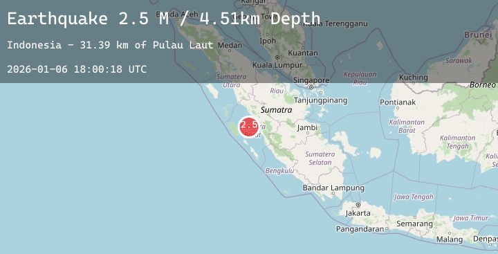
A 2.4 magnitude earthquake struck on Southern Sumatra, Indonesia, at Tue, 06 Jan 2026 18:00:18 GMT. Depth: 8.868211km. Reviewed by BMKG seismologists, this minor quake occurred at a magnitude type of M.
Magnitude
2.4
M
Source
BMKG
Intensity
-
Agency Reports
1 Sources| Source | Magnitude | Depth | Time |
|---|---|---|---|
| BMKGPrimary | 2.4 | 9 km | 3 days ago |
Earthquake Details
AutomaticEvent IDbmg2026aknd
Tsunami PotentialNo
Magnitude TypeM
Nearest Places
- Pulau Laut31.4 km
- Pulau Toran38.0 km
- Karang Stort40.7 km
- Pulau Nyamuk43.7 km
- Pulau Pandan44.1 km
Comments
Join the discussion about this event.
Latest Earthquakes
1.2Mag
8 km W of Holtville, CA
Time3 days ago
Depth8.25 km
SourceUSGS (Automatic)
2.7Mag
South of Sumbawa, Indonesia
Time3 days ago
Depth9.77 km
SourceBMKG (Automatic)
2.7Mag
SAN JUAN, ARGENTINA
Time3 days ago
Depth102.00 km
SourceNSNA (Automatic)
2.3Mag
Minahassa Peninsula, Sulawesi
Time3 days ago
Depth83.03 km
SourceBMKG (Automatic)
2.2Mag
ALBANIA
Time3 days ago
Depth15.00 km
SourceIGEO (Automatic)
Nearby Earthquakes
No significant earthquakes nearby recently.