Earthquake Southern Sumatra, Indonesia
Tue, 06 Jan 2026 19:17:54 GMT
Time2 days ago
Location
-0.1079, 99.0466
Depth
51.3 KM
Event Summary
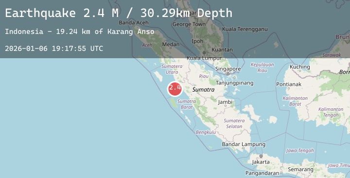
A 2.4 magnitude earthquake struck on Southern Sumatra, Indonesia, at Tue, 06 Jan 2026 19:17:54 GMT. Depth: 51.324436km. Reviewed by BMKG seismologists, this minor quake occurred at a magnitude type of M.
Magnitude
2.4
M
Source
BMKG
Intensity
-
Agency Reports
1 Sources| Source | Magnitude | Depth | Time |
|---|---|---|---|
| BMKGPrimary | 2.4 | 51 km | 2 days ago |
Earthquake Details
AutomaticEvent IDbmg2026akps
Tsunami PotentialNo
Magnitude TypeM
Nearest Places
- Karang Anso17.9 km
- Pulau Anso20.2 km
- Karang Sambulaling21.4 km
- Pulau Sambulaling21.9 km
- Gosong Ular24.5 km
Comments
Join the discussion about this event.
Latest Earthquakes
2.2Mag
Minahassa Peninsula, Sulawesi
Time2 days ago
Depth72.76 km
SourceBMKG (Automatic)
1.5Mag
7 km WNW of Rotan, Texas
Time2 days ago
Depth2.73 km
SourceUSGS (Automatic)
2.9Mag
South of Sumbawa, Indonesia
Time2 days ago
Depth7.58 km
SourceBMKG (Automatic)
3.8Mag
NEAR EAST COAST OF HONSHU, JAPAN
Time2 days ago
Depth50.00 km
SourceJMA (Automatic)
2.2Mag
AEGEAN SEA
Time2 days ago
Depth5.30 km
SourceEMSC (Automatic)
Nearby Earthquakes
No significant earthquakes nearby recently.