Earthquake Flores Region, Indonesia
Tue, 06 Jan 2026 20:53:09 GMT
Time3 days ago
Location
-8.4319, 119.8958
Depth
40.2 KM
Event Summary
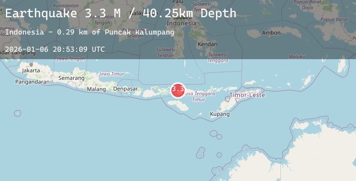
A 3.2 magnitude earthquake struck on Flores Region, Indonesia, at Tue, 06 Jan 2026 20:53:09 GMT. Depth: 40.200573km. Reviewed by BMKG seismologists, this minor quake occurred at a magnitude type of M.
Magnitude
3.2
M
Source
BMKG
Intensity
-
Agency Reports
1 Sources| Source | Magnitude | Depth | Time |
|---|---|---|---|
| BMKGPrimary | 3.2 | 40 km | 3 days ago |
Earthquake Details
AutomaticEvent IDbmg2026aksw
Tsunami PotentialNo
Magnitude TypeM
Nearest Places
- Pulau Pangaan Laut0.5 km
- Pulau Pangaan Darat1.1 km
- Toro Bembe1.3 km
- Loho Manabongi1.5 km
- Loho Gasonggea1.6 km
Comments
Join the discussion about this event.
Latest Earthquakes
0.8Mag
8 km W of Cobb, CA
Time3 days ago
Depth2.10 km
SourceUSGS (Automatic)
2.2Mag
Bali Region, Indonesia
Time3 days ago
Depth23.44 km
SourceBMKG (Automatic)
2.4Mag
ISLAND OF HAWAII, HAWAII
Time3 days ago
Depth35.80 km
SourceHV (Automatic)
2.2Mag
Java, Indonesia
Time3 days ago
Depth87.62 km
SourceBMKG (Automatic)
1.2Mag
EASTERN TURKEY
Time3 days ago
Depth7.00 km
SourceEMSC (Automatic)