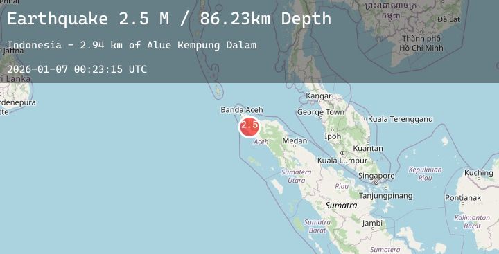
Earthquake Northern Sumatra, Indonesia
Wed, 07 Jan 2026 00:23:14 GMT
Time1 day ago
Location
4.8207, 95.7647
Depth
90.0 KM
Event Summary
A 2.5 magnitude earthquake struck on Northern Sumatra, Indonesia, at Wed, 07 Jan 2026 00:23:14 GMT. Depth: 89.991501km. Reviewed by BMKG seismologists, this minor quake occurred at a magnitude type of M.
Magnitude
2.5
M
Source
BMKG
Intensity
-
Agency Reports
1 Sources| Source | Magnitude | Depth | Time |
|---|---|---|---|
| BMKGPrimary | 2.5 | 90 km | 1 day ago |
Earthquake Details
AutomaticEvent IDbmg2026akzu
Tsunami PotentialNo
Magnitude TypeM
Nearest Places
- Alue Kempung Dalam2.9 km
- Kecamatan Krueng Sabee4.9 km
- Alue Umangtame5.6 km
- Gle Batee Magajah6.2 km
- Gle Jambopanjang6.4 km
Comments
Join the discussion about this event.
Latest Earthquakes
1.1Mag
8 km ESE of Redwood Valley, CA
Time1 day ago
Depth4.90 km
SourceUSGS (Automatic)
1.2Mag
NORTHERN ITALY
Time1 day ago
Depth20.00 km
SourceOGS (Automatic)
2.8Mag
Java, Indonesia
Time1 day ago
Depth83.35 km
SourceBMKG (Automatic)
2.6Mag
LA RIOJA, ARGENTINA
Time1 day ago
Depth95.00 km
SourceNSNA (Automatic)
3.0Mag
NEGROS- CEBU REG, PHILIPPINES
Time1 day ago
Depth16.00 km
SourcePIVS (Automatic)
Nearby Earthquakes
No significant earthquakes nearby recently.