Earthquake Sumbawa Region, Indonesia
Wed, 07 Jan 2026 09:55:23 GMT
Time2 days ago
Location
-8.2242, 117.7605
Depth
24.5 KM
Event Summary
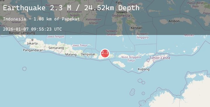
A 2.3 magnitude earthquake struck on Sumbawa Region, Indonesia, at Wed, 07 Jan 2026 09:55:23 GMT. Depth: 24.522575km. Reviewed by BMKG seismologists, this minor quake occurred at a magnitude type of M.
Magnitude
2.3
M
Source
BMKG
Intensity
-
Agency Reports
1 Sources| Source | Magnitude | Depth | Time |
|---|---|---|---|
| BMKGPrimary | 2.3 | 25 km | 2 days ago |
Earthquake Details
AutomaticEvent IDbmg2026alsr
Tsunami PotentialNo
Magnitude TypeM
Nearest Places
- Papekat1.1 km
- Doro Kadindi1.6 km
- Doro Kedindi1.6 km
- Doro Batu1.9 km
- Desa Pekat2.8 km
Comments
Join the discussion about this event.
Latest Earthquakes
2.3Mag
65 km ESE of Cantwell, Alaska
Time2 days ago
Depth8.50 km
SourceUSGS (Automatic)
2.9Mag
OFFSHORE EL SALVADOR
Time2 days ago
Depth36.00 km
SourceINET (Automatic)
2.3Mag
Sumbawa Region, Indonesia
Time2 days ago
Depth10.00 km
SourceBMKG (Automatic)
2.5Mag
WESTERN TURKEY
Time2 days ago
Depth18.40 km
SourceKOERI (Automatic)
4.0Mag
OFFSHORE OAXACA, MEXICO
Time2 days ago
Depth5.00 km
SourceUNM (Automatic)
Nearby Earthquakes
2.7Mag
Bali Sea
Time2 days ago
Depth16.39 km
SourceBMKG (Automatic)
2.1Mag
Sumbawa Region, Indonesia
Time2 days ago
Depth18.43 km
SourceBMKG (Automatic)
2.2Mag
Sumbawa Region, Indonesia
Time2 days ago
Depth10.22 km
SourceBMKG (Automatic)
2.1Mag
Bali Sea
Time3 days ago
Depth8.54 km
SourceBMKG (Automatic)
2.1Mag
Sumbawa Region, Indonesia
Time3 days ago
Depth17.32 km
SourceBMKG (Automatic)