Earthquake Sumbawa Region, Indonesia
Wed, 07 Jan 2026 12:48:32 GMT
Time1 day ago
Location
-8.2620, 116.8310
Depth
21.0 KM
Event Summary
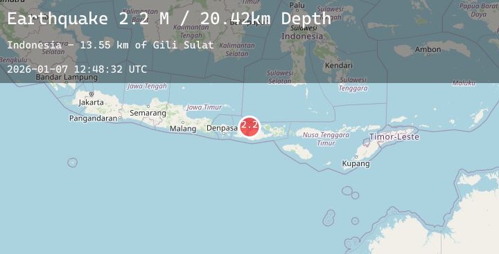
A 2.1 magnitude earthquake struck on Sumbawa Region, Indonesia, at Wed, 07 Jan 2026 12:48:32 GMT. Depth: 20.978945km. Reviewed by BMKG seismologists, this minor quake occurred at a magnitude type of M.
Magnitude
2.1
M
Source
BMKG
Intensity
-
Agency Reports
1 Sources| Source | Magnitude | Depth | Time |
|---|---|---|---|
| BMKGPrimary | 2.1 | 21 km | 1 day ago |
Earthquake Details
AutomaticEvent IDbmg2026alyj
Tsunami PotentialNo
Magnitude TypeM
Nearest Places
- Gili Sulat13.5 km
- Gili Lawang14.9 km
- Tanjung Bonde15.6 km
- Muara Tekolok16.1 km
- Selat Sugian16.2 km
Comments
Join the discussion about this event.
Latest Earthquakes
1.0Mag
13 km SW of North Pole, Alaska
Time1 day ago
Depth16.30 km
SourceUSGS (Automatic)
2.3Mag
Savu Sea
Time1 day ago
Depth31.23 km
SourceBMKG (Automatic)
2.0Mag
72 km ENE of Chase, Alaska
Time1 day ago
Depth56.70 km
SourceUSGS (Automatic)
3.4Mag
Talaud Islands, Indonesia
Time1 day ago
Depth24.84 km
SourceBMKG (Automatic)
2.5Mag
Sumba Region, Indonesia
Time1 day ago
Depth45.17 km
SourceBMKG (Automatic)
Nearby Earthquakes
2.2Mag
Sumbawa Region, Indonesia
Time1 day ago
Depth4.73 km
SourceBMKG (Automatic)
3.8Mag
Sumbawa Region, Indonesia
Time1 day ago
Depth10.00 km
SourceBMKG (Automatic)
2.7Mag
Bali Sea
Time1 day ago
Depth16.39 km
SourceBMKG (Automatic)
2.3Mag
Sumbawa Region, Indonesia
Time1 day ago
Depth10.00 km
SourceBMKG (Automatic)
2.1Mag
Bali Sea
Time1 day ago
Depth8.54 km
SourceBMKG (Automatic)