Earthquake Southern Sumatra, Indonesia
Thu, 08 Jan 2026 10:33:21 GMT
Time21 hours ago
Location
-5.5715, 102.6523
Depth
52.6 KM
Event Summary
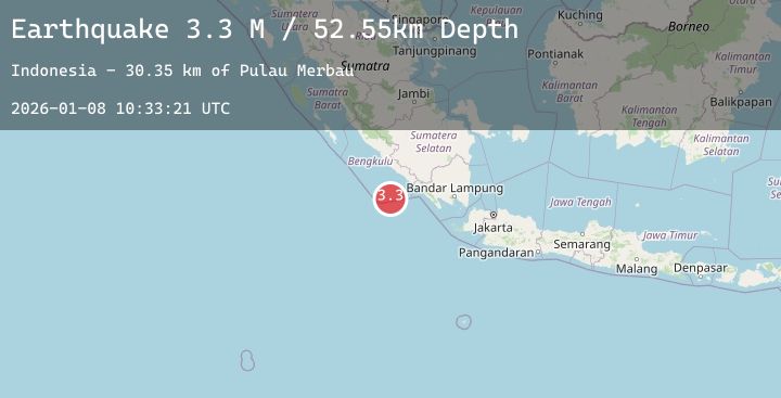
A 3.3 magnitude earthquake struck on Southern Sumatra, Indonesia, at Thu, 08 Jan 2026 10:33:21 GMT. Depth: 52.550945km. Reviewed by BMKG seismologists, this minor quake occurred at a magnitude type of M.
Magnitude
3.3
M
Source
BMKG
Intensity
-
Agency Reports
1 Sources| Source | Magnitude | Depth | Time |
|---|---|---|---|
| BMKGPrimary | 3.3 | 53 km | 21 hours ago |
Earthquake Details
AutomaticEvent IDbmg2026anpk
Tsunami PotentialNo
Magnitude TypeM
Nearest Places
- Pulau Merbau30.3 km
- Tanjung Kahoabi31.0 km
- Pulaudua31.0 km
- Teluk Enggano31.8 km
- Pulau Bangkai31.8 km
Comments
Join the discussion about this event.
Latest Earthquakes
2.9Mag
Bali Region, Indonesia
Time21 hours ago
Depth35.55 km
SourceBMKG (Automatic)
2.3Mag
FRANCE
Time21 hours ago
Depth5.00 km
SourceReNaSS (Automatic)
4.8Mag
NORTH ISLAND OF NEW ZEALAND
Time21 hours ago
Depth191.40 km
SourceGNS (Automatic)
1.1Mag
7 km NW of The Geysers, CA
Time21 hours ago
Depth1.73 km
SourceUSGS (Automatic)
1.6Mag
17 km WSW of Johannesburg, CA
Time21 hours ago
Depth8.45 km
SourceUSGS (Automatic)
Nearby Earthquakes
No significant earthquakes nearby recently.