Earthquake Off West Coast of Northern Sumatra
Thu, 08 Jan 2026 13:00:20 GMT
Time1 day ago
Location
0.7303, 96.8836
Depth
21.6 KM
Event Summary
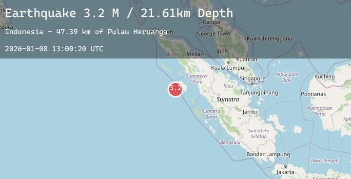
A 3.2 magnitude earthquake struck on Off West Coast of Northern Sumatra, at Thu, 08 Jan 2026 13:00:20 GMT. Depth: 21.610716km. Reviewed by BMKG seismologists, this minor quake occurred at a magnitude type of M.
Magnitude
3.2
M
Source
BMKG
Intensity
-
Agency Reports
1 Sources| Source | Magnitude | Depth | Time |
|---|---|---|---|
| BMKGPrimary | 3.2 | 22 km | 1 day ago |
Earthquake Details
AutomaticEvent IDbmg2026anug
Tsunami PotentialNo
Magnitude TypeM
Nearest Places
- Pulau Heruanga47.3 km
- Desa Hanofa47.7 km
- Pulau Asu47.8 km
- Maruhawa48.0 km
- Bawasawa49.9 km
Comments
Join the discussion about this event.
Latest Earthquakes
1.2Mag
2 km NNW of Baldwin Park, CA
Time1 day ago
Depth12.34 km
SourceUSGS (Automatic)
2.4Mag
Minahassa Peninsula, Sulawesi
Time1 day ago
Depth28.73 km
SourceBMKG (Automatic)
3.0Mag
HAITI REGION
Time1 day ago
Depth8.00 km
SourceAYIT (Automatic)
0.8Mag
9 km NW of The Geysers, CA
Time1 day ago
Depth4.16 km
SourceUSGS (Automatic)
4.9Mag
southeast of the Loyalty Islands
Time1 day ago
Depth83.31 km
SourceUSGS
Nearby Earthquakes
No significant earthquakes nearby recently.