Earthquake Northern Sumatra, Indonesia
Thu, 08 Jan 2026 18:20:30 GMT
Time2 days ago
Location
1.8868, 97.9391
Depth
27.5 KM
Event Summary
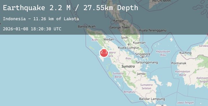
A 2.2 magnitude earthquake struck on Northern Sumatra, Indonesia, at Thu, 08 Jan 2026 18:20:30 GMT. Depth: 27.549931km. Reviewed by BMKG seismologists, this minor quake occurred at a magnitude type of M.
Magnitude
2.2
M
Source
BMKG
Intensity
-
Agency Reports
1 Sources| Source | Magnitude | Depth | Time |
|---|---|---|---|
| BMKGPrimary | 2.2 | 28 km | 2 days ago |
Earthquake Details
AutomaticEvent IDbmg2026aoev
Tsunami PotentialNo
Magnitude TypeM
Nearest Places
- Lakota11.2 km
- Doris22.2 km
- Cucut30.8 km
- Pulau Panjang35.2 km
- Pulau Birahan35.3 km
Comments
Join the discussion about this event.
Latest Earthquakes
2.4Mag
Bali Region, Indonesia
Time2 days ago
Depth32.52 km
SourceBMKG (Automatic)
1.3Mag
4 km NW of The Geysers, CA
Time2 days ago
Depth2.96 km
SourceUSGS (Automatic)
2.6Mag
GREECE
Time2 days ago
Depth8.90 km
SourceNOA (Automatic)
2.2Mag
18 km S of Barstow, Texas
Time2 days ago
Depth7.12 km
SourceUSGS (Automatic)
3.0Mag
Java, Indonesia
Time2 days ago
Depth44.82 km
SourceBMKG (Automatic)
Nearby Earthquakes
No significant earthquakes nearby recently.