Earthquake West Papua Region, Indonesia
Thu, 08 Jan 2026 20:05:09 GMT
Time2 days ago
Location
-2.9804, 132.4634
Depth
31.0 KM
Event Summary
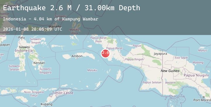
A 2.6 magnitude earthquake struck on West Papua Region, Indonesia, at Thu, 08 Jan 2026 20:05:09 GMT. Depth: 31.001772km. Reviewed by BMKG seismologists, this minor quake occurred at a magnitude type of M.
Magnitude
2.6
M
Source
BMKG
Intensity
-
Agency Reports
1 Sources| Source | Magnitude | Depth | Time |
|---|---|---|---|
| BMKGPrimary | 2.6 | 31 km | 2 days ago |
Earthquake Details
AutomaticEvent IDbmg2026aoih
Tsunami PotentialNo
Magnitude TypeM
Nearest Places
- Kampung Wambar4.0 km
- Tanjung Batubediri5.2 km
- Kwama5.2 km
- Teluk Kwama5.3 km
- Tanjung Kowama5.5 km
Comments
Join the discussion about this event.
Latest Earthquakes
3.2Mag
Northern Sumatra, Indonesia
Time2 days ago
Depth3.94 km
SourceBMKG (Automatic)
2.6Mag
33 km W of Anchor Point, Alaska
Time2 days ago
Depth75.60 km
SourceUSGS (Automatic)
1.8Mag
18 km E of Pāhala, Hawaii
Time2 days ago
Depth40.44 km
SourceUSGS (Automatic)
2.0Mag
Flores Region, Indonesia
Time2 days ago
Depth3.06 km
SourceBMKG (Automatic)
2.4Mag
Sumbawa Region, Indonesia
Time2 days ago
Depth20.34 km
SourceBMKG (Automatic)
Nearby Earthquakes
No significant earthquakes nearby recently.