Earthquake West Papua Region, Indonesia
Thu, 08 Jan 2026 20:43:46 GMT
Time2 days ago
Location
-0.6137, 133.8859
Depth
17.7 KM
Event Summary
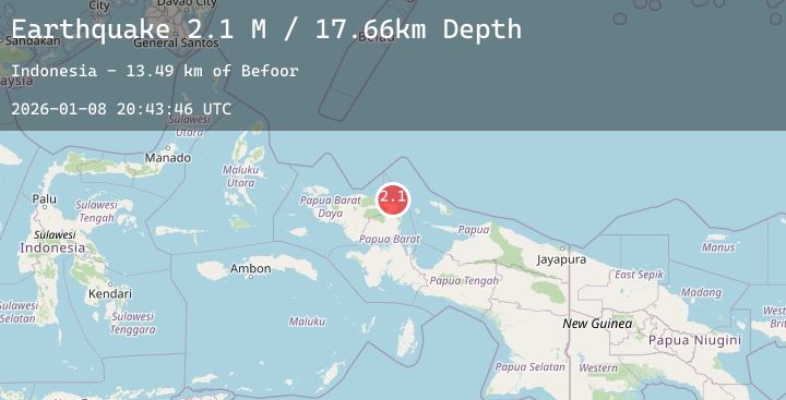
A 2.1 magnitude earthquake struck on West Papua Region, Indonesia, at Thu, 08 Jan 2026 20:43:46 GMT. Depth: 17.656956km. Reviewed by BMKG seismologists, this minor quake occurred at a magnitude type of M.
Magnitude
2.1
M
Source
BMKG
Intensity
-
Agency Reports
1 Sources| Source | Magnitude | Depth | Time |
|---|---|---|---|
| BMKGPrimary | 2.1 | 18 km | 2 days ago |
Earthquake Details
AutomaticEvent IDbmg2026aojo
Tsunami PotentialNo
Magnitude TypeM
Nearest Places
- Befoor13.5 km
- Kampung Tanah Rubuh13.6 km
- Kampung Meyes13.7 km
- Tanjung Saweba13.8 km
- Kampung Teluk Mubri15.0 km
Comments
Join the discussion about this event.
Latest Earthquakes
1.9Mag
34 km ESE of Balmorhea, Texas
Time2 days ago
Depth12.99 km
SourceUSGS (Automatic)
2.6Mag
WESTERN TURKEY
Time2 days ago
Depth8.30 km
SourceKOERI (Automatic)
1.0Mag
14 km NE of Ridgecrest, CA
Time2 days ago
Depth3.26 km
SourceUSGS (Automatic)
2.3Mag
West Papua Region, Indonesia
Time2 days ago
Depth10.00 km
SourceBMKG (Automatic)
1.2Mag
CENTRAL TURKEY
Time2 days ago
Depth7.00 km
SourceAFAD (Automatic)