Earthquake Near North Coast of West Papua
Fri, 09 Jan 2026 03:17:25 GMT
Time1 day ago
Location
-1.6527, 138.7456
Depth
10.0 KM
Event Summary
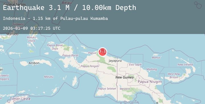
A 3.1 magnitude earthquake struck on Near North Coast of West Papua, at Fri, 09 Jan 2026 03:17:25 GMT. Depth: 10km. Reviewed by BMKG seismologists, this minor quake occurred at a magnitude type of M.
Magnitude
3.1
M
Source
BMKG
Intensity
-
Agency Reports
1 Sources| Source | Magnitude | Depth | Time |
|---|---|---|---|
| BMKGPrimary | 3.1 | 10 km | 1 day ago |
Earthquake Details
AutomaticEvent IDbmg2026aown
Tsunami PotentialNo
Magnitude TypeM
Nearest Places
- Pulau-pulau Kumamba1.1 km
- Pulau Lamsutu2.0 km
- Sau5.1 km
- Pulau Liki5.5 km
- Kampung Liki5.7 km
Comments
Join the discussion about this event.
Latest Earthquakes
0.7Mag
8 km NW of The Geysers, CA
Time1 day ago
Depth1.49 km
SourceUSGS (Automatic)
3.5Mag
ROMANIA
Time1 day ago
Depth120.00 km
SourceNIEP (Automatic)
1.9Mag
21 km E of Little Lake, CA
Time1 day ago
Depth1.84 km
SourceUSGS (Automatic)
3.0Mag
South of Bali, Indonesia
Time1 day ago
Depth46.84 km
SourceBMKG (Automatic)
2.8Mag
ARAUCANIA, CHILE
Time1 day ago
Depth20.30 km
SourceCSN (Automatic)
Nearby Earthquakes
No significant earthquakes nearby recently.