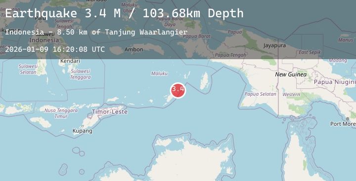
Earthquake Tanimbar Islands Region, Indonesia
Fri, 09 Jan 2026 16:20:08 GMT
Time2 days ago
Location
-6.9953, 132.0845
Depth
103.7 KM
Event Summary
A 3.4 magnitude earthquake struck on Tanimbar Islands Region, Indonesia, at Fri, 09 Jan 2026 16:20:08 GMT. Depth: 103.675148km. Reviewed by BMKG seismologists, this minor quake occurred at a magnitude type of M.
Magnitude
3.4
M
Source
BMKG
Intensity
-
Agency Reports
1 Sources| Source | Magnitude | Depth | Time |
|---|---|---|---|
| BMKGPrimary | 3.4 | 104 km | 2 days ago |
Earthquake Details
AutomaticEvent IDbmg2026apwj
Tsunami PotentialNo
Magnitude TypeM
Nearest Places
- Tanjung Waarlangier8.5 km
- Watsira8.6 km
- Desa Adodo Fordata10.5 km
- Adodu12.0 km
- Desa Walerang13.3 km
Comments
Join the discussion about this event.
Latest Earthquakes
3.0Mag
SAN FRANCISCO BAY AREA, CALIF.
Time2 days ago
Depth8.20 km
SourceNC (Automatic)
3.5Mag
Northern Molucca Sea
Time2 days ago
Depth10.00 km
SourceBMKG (Automatic)
2.6Mag
Savu Sea
Time2 days ago
Depth58.04 km
SourceBMKG (Automatic)
2.1Mag
Minahassa Peninsula, Sulawesi
Time2 days ago
Depth74.97 km
SourceBMKG (Automatic)
3.3Mag
EL SALVADOR
Time2 days ago
Depth4.30 km
SourceMARN (Automatic)
Nearby Earthquakes
No significant earthquakes nearby recently.