Earthquake Northern Sumatra, Indonesia
Fri, 09 Jan 2026 20:37:58 GMT
Time2 days ago
Location
0.2821, 98.6537
Depth
13.5 KM
Event Summary
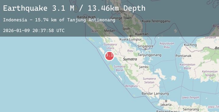
A 3.1 magnitude earthquake struck on Northern Sumatra, Indonesia, at Fri, 09 Jan 2026 20:37:58 GMT. Depth: 13.45707km. Reviewed by BMKG seismologists, this minor quake occurred at a magnitude type of M.
Magnitude
3.1
M
Source
BMKG
Intensity
-
Agency Reports
1 Sources| Source | Magnitude | Depth | Time |
|---|---|---|---|
| BMKGPrimary | 3.1 | 13 km | 2 days ago |
Earthquake Details
AutomaticEvent IDbmg2026aqew
Tsunami PotentialNo
Magnitude TypeM
Nearest Places
- Tanjung Batubatu12.2 km
- Tanjung Antimonang13.5 km
- Lambak14.8 km
- Tanjung Rapa-rapa16.8 km
- Desa Lambak17.0 km
Comments
Join the discussion about this event.
Latest Earthquakes
1.7Mag
62 km E of Cantwell, Alaska
Time2 days ago
Depth5.00 km
SourceUSGS (Automatic)
0.9Mag
76 km S of McCarthy, Alaska
Time2 days ago
Depth1.70 km
SourceUSGS (Automatic)
1.5Mag
26 km NNW of Toyah, Texas
Time2 days ago
Depth0.00 km
SourceUSGS (Automatic)
1.1Mag
9 km WNW of The Geysers, CA
Time2 days ago
Depth2.14 km
SourceUSGS (Automatic)
2.0Mag
WESTERN TURKEY
Time2 days ago
Depth12.00 km
SourceEMSC (Automatic)
Nearby Earthquakes
No significant earthquakes nearby recently.